After taking a rather long break from our annual look at severe summer weather, and particularly our look at thunderstorms, it is time we get back at it.
It was nearly a month ago when I first started looking at severe summer weather. Then we then had a teachable moment, so we switched gears to talk about what actually causes and drives our winds.
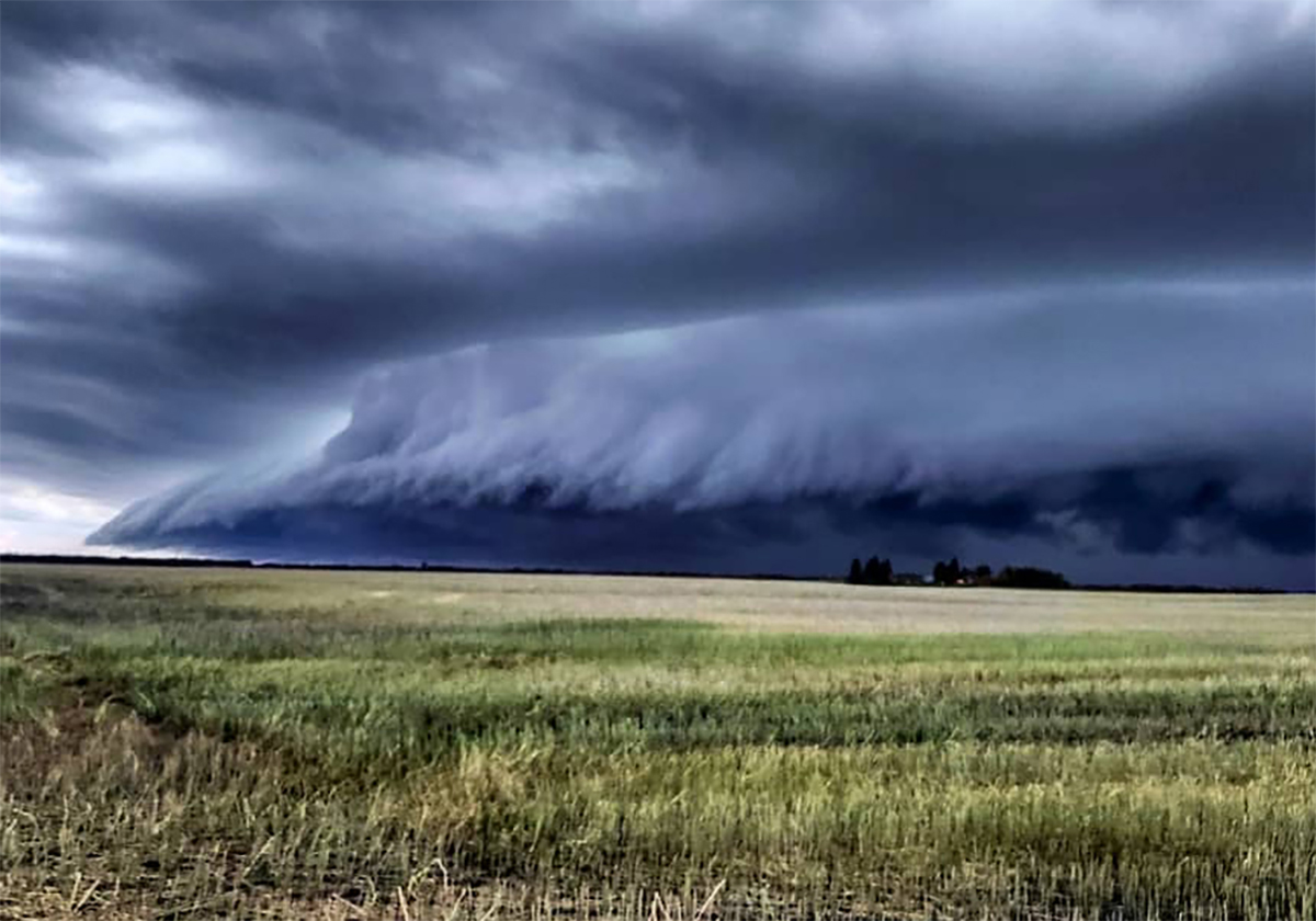
In this issue we are going to look at what takes a regular old thunderstorm, or garden variety thunderstorm, and turn it into a severe thunderstorm, or occasionally, into a thunderstorm that you truly remember.
Read Also
Canola oil transloading facility opens
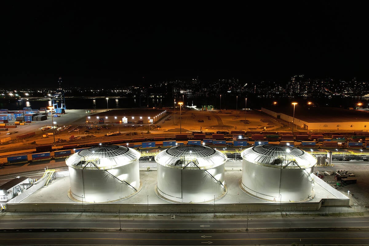
DP World just opened its new canola oil transload facility at the Port of Vancouver. It can ship one million tonnes of the commodity per year.
Typically, for severe thunderstorms to develop, we have a hot humid air mass in place at the surface, while the air a few thousand metres up is very cold.
This provides an environment where rising air will continue to rise, or as we would say, there is plenty of lift.
Add to this a strong jet stream overhead that will vent the accumulating air at the top of the storm, and we are ready for severe thunderstorms.
Over the last few weeks, we have had plenty of cold air aloft, but we didn’t really have a lot of hot and humid air at the surface. However, there was enough heat and humidity at the surface to generate rising air.
Combine this with several occurrences of strong jet streams overhead and we ended up seeing some severe thunderstorms develop. The question then is, what can Mother Nature add to the mix to make things even worse?
The first and probably most important “extra” ingredient that can be added to the mix is to have the wind change direction with altitude.
Remember that the atmosphere is three-dimensional; that is, air can flow horizontally, but this horizontal direction can change as you move upward.
Why would this have an impact on our storm?
To put it in a nutshell, this change of direction can cause the developing storm to rotate.
Picture what would happen if you took a rising parcel of air and push on it from the south when it is at the surface. Then, as it rises a couple of thousand metres, the wind switches direction and now blows from the east. Then, another thousand metres or so further up, it is blowing from the northwest.
What would happen to our rising parcel of air? It would get twisted and start to rotate.
If we can get air to rotate counterclockwise, it will start to create an area of low pressure. Air flows, or spirals inward, in a counterclockwise rotation. This means the air will be converging or bunching up near the centre of this rotation.
This converging air can either move downward or upward.
The ground is in the way for the air to move downward, and the air is unstable, which means it already wants to move upward. This results in upward moving air, often forced to move upward very fast.
So, if we can get our severe storm to rotate, a small-scale area of low pressure can form, and that helps the air to rise even more than it would without the rotation.
When this occurs, it is referred to as a super cell thunderstorm, or a mesocyclone.
More on what happens with a mesocyclone in the next issue.
For more Prairie weather forecasts and insights on climate science, visit Daniel Bezte’s full archive.