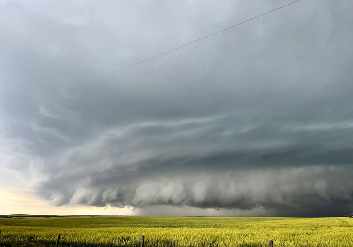
If you have spent any time living on the Prairies, you will have likely experienced a thunderstorm that produces very strong straight-line winds.
Nearly all straight-line winds occur near the leading edge of a thunderstorm, which are made up of areas of updrafts and downdrafts.
The updrafts are easy to understand because they are regions where air is moving upward due to either being warmer than the air around them or by being forced upward as horizontally moving air is deflected upward by something like a cold front.
Read Also
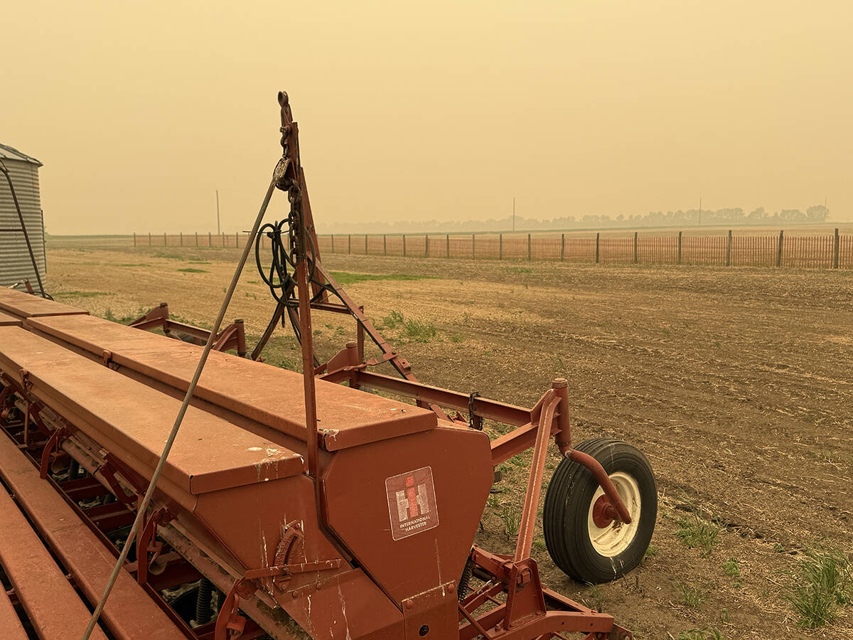
Wildfires have unexpected upside this year
One farmer feels smoke from nearby wildfires shrouded the July skies and protected his crop from the sun’s burning rays, resulting in more seeds per pod and more pods per plant.
Downdrafts are a little more difficult to understand, but only a little bit.
When a thunderstorm is moving in, we can often get that first big blast of wind that causes everyone to run for shelter and announces the arrival of the storm as the clouds open and rain begins to pour down.
There are two main factors that cause these winds.
First, you must imagine all the air that is rising to the top of the storm — it must go somewhere.
In a strong storm, the overhead jet stream is trying to vent all this air away, but it often can’t get all of it away. Eventually, the amount of excess air that builds up becomes large and heavy enough, or the updraft weakens, and that air begins to fall back toward the ground.
Now, combine this falling air with the rain that is also falling.
As the rain falls from the storm, that rain is pushing on the air around it, much like when you spray something with a garden hose or if you have ever visited a big waterfall.
This downward moving air hits the ground and then must flow somewhere.
The area of falling rain acts like a wall, preventing much of the falling air from flowing back into the storm. So instead, most of it is funnelled or pushed out in front of the storm.
These downbursts can be short lived, travelling and lasting only a short time, or they can continue for long distances as the thunderstorm travels.
These long-lived events are known as a Derecho.
While not that common in Canada, they do occur. Peak wind speeds in these downbursts can routinely reach more than 100 km-h, with some gusts peaking at more than 200 km-h.
If you have lived through a few strong thunderstorms, you know that out in front of the thunderstorm is not the only place where strong straight lines winds can occur.
Often, we can get very strong winds in the middle of the storm. One of the reasons for this is the jet stream or strong upper-level winds.
As you know, strong thunderstorms often need strong upper-level winds to help vent all the rising air. Occasionally, these strong winds can get caught up in a strong downdraft, and they get deflected toward the surface.
If they make it all the way down to the surface, they must spread out and can flow in several different directions, depending on the angle in which they arrived.
This is why this type of straight-line wind can be confused with tornadoes because these winds can often seem more chaotic than the winds that preceded the thunderstorm.
For more Prairie weather forecasts and insights on climate science, visit Daniel Bezte’s full archive.