After taking a break from examining the factors that contribute to extreme rainfall to look at the latest fall forecast, we are going to hopefully finish up our look at the topic of extreme rainfall.
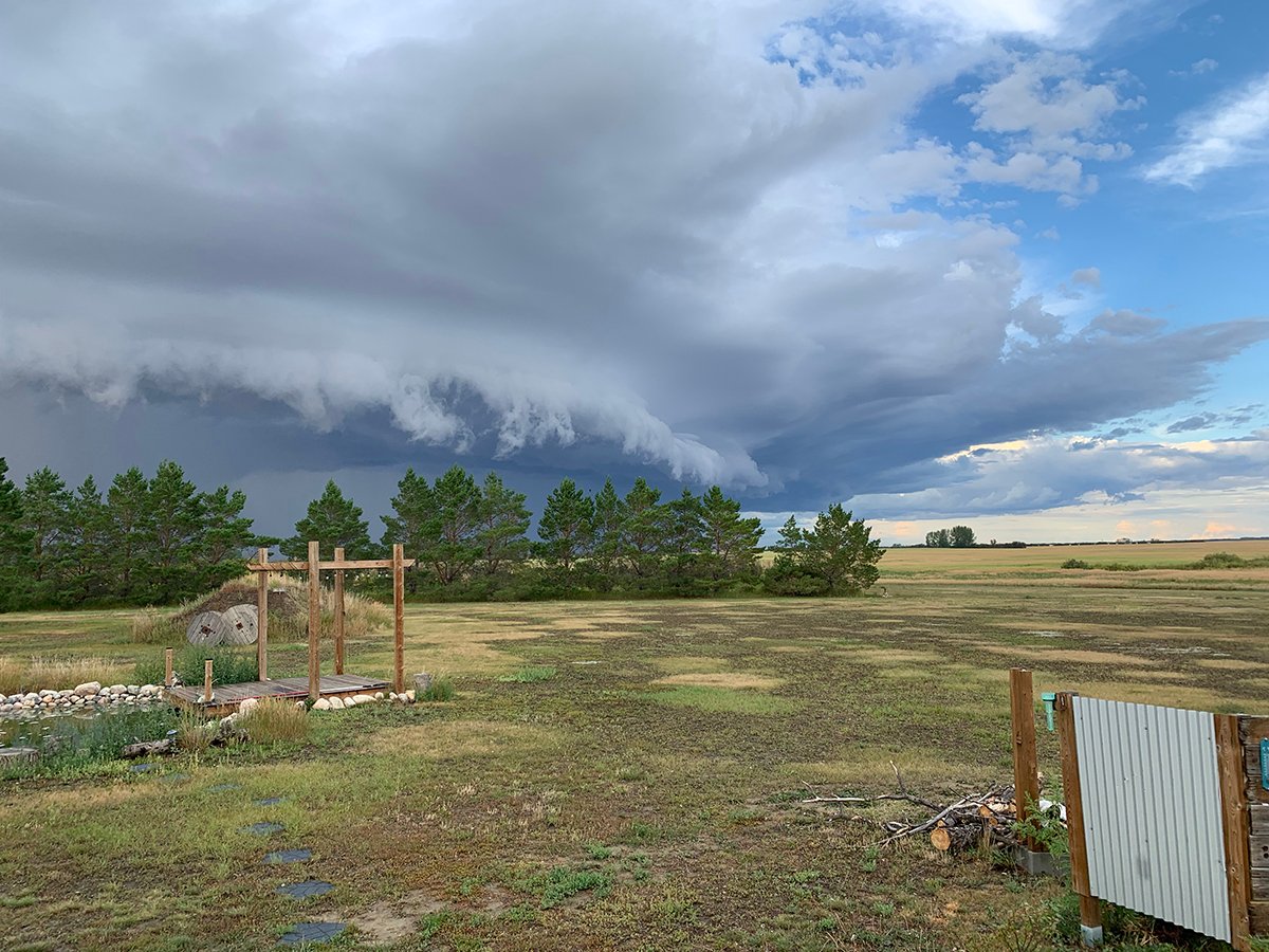
Besides moisture, instability and orographic lift, which we discussed in previous issues, the next biggest factor that contributes to heavy or extreme rainfall is storm dynamics. This is a broad term that basically describes how a storm system behaves. Rainfall events come from different types of storm systems, such as fronts, areas of low pressure and convective thunderstorms. Each of these storm systems has the potential to produce heavy or extreme rainfall, depending on their dynamics or how they behave.
The behaviour that contributes the most to extreme rainfall events is the speed at which the events are moving. The slower the system, the greater chance of heavy rain. If you think about it, it just makes sense. When a front or an area of low pressure moves slowly, or even stops moving, which we refer to as stalling out, the mechanism that is in place for producing rainfall stays over one region.
Read Also
Sugar beet harvest underway in southern Alberta
Alberta Sugar Beet Growers hosts field tour to educate the public on the intricacies of the crop, its harvest process, and contracts with Lantic Sugar
Normally, most rain-producing systems have the potential to bring heavy rain; they just don’t stay over one place long enough.
Even convective thunderstorms can stall out, but when it stalls out, it usually does not create conditions that create heavy rain. The reason is a stalled-out storm will usually self-destruct over a short period of time. What is dangerous with convective thunderstorms is when something called “training” occurs.
Training is when a series of thunderstorms form and move over the same region. One storm will develop and bring heavy rain. As it starts to move off and self-destruct, a second storm then quickly develops and moves in to replace the first storm, and so on.
From the ground it will often seem like it is just one big storm that keeps on going. Heavy rain develops, there is a short lull and then it picks up again. Training thunderstorms have resulted in some of the heaviest amounts of rain across the Prairies.
The last factor we will examine in this article is convergence zones. These are similar to topography and orographic lift as they are areas where winds from different directions come together, or converge, forcing air to rise. They can form nearly anywhere when winds of opposing directions meet. These zones can act as focal points for storm development and can lead to the formation of heavy rain-producing thunderstorms.
Try as I might, I was not able to squeeze in the last factor influencing extreme rainfall events, and that is a warming planet. As the Earth’s atmosphere warms, the ability to hold moisture goes up — so does the ability to evaporate more moisture, but that is a different article all together. So, in the next issue we will finish up our look at extreme rainfall by examining this final factor.