SASKATOON – When you sit down to fill out that Crow payment application, remember: Somebody Upstairs is Watching.
To be more precise, a satellite has been watching for the past few years, and the data that has been collected is going be used to check the accuracy of the information on the forms.
“This is one of the tools that we are using to verify the applications,” said Ophelia Gutiw, who is gathering the information for the Western Grains Transition Payment Program.
The satellite image, obtained from a Vancouver-based firm called Radarsat International, can identify anything on the ground bigger than 30 metres.
Read Also
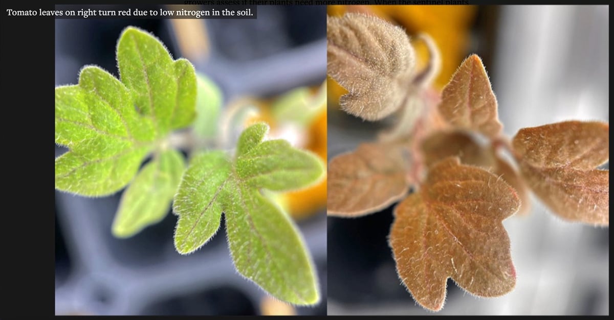
American researchers design a tomato plant that talks
Two students at Cornell University have devised a faster way to detect if garden plants and agricultural crops have a sufficient supply of nitrogen.
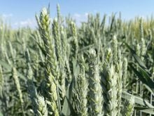
And by measuring the amount of chlorophyll that’s being produced on the land, the image will also help the program administrators to identify whether a particular parcel of land was used to produce a crop that is eligible for some of the $1.6 billion payment.
“What we’re doing is a classification that identifies, for example, treed areas, cropped areas (including summerfallow), forage areas and water wetlands,” she said.
The image also indicates whether land is irrigated or not, and can even be used to differentiate between individual crops, although that’s not being done in this case because of time constraints.
The key question as far as the payment is concerned is what the land was used for in 1994 and the images being used were obtained at various times from 1993 to 1995. Gutiw said that is because the satellite image can only be obtained on cloudless days, and it’s always cloudy somewhere on the Prairies.
This is the first time such a comprehensive satellite image of land use on the Prairies has been been put together, Gutiw said. The information will form a baseline for tracking future changes in soil quality, cropping patterns and land use.