EDMONTON – Farmers, researchers and government staff spent two days at a Site Specific Management conference recently discussing ways some of the new technology has helped farmers. The following are a few examples of how global positioning systems and geographic information systems have been used on prairie farms.
Three dry years in a row have cooled Montana farmers’ interest in global positioning system technology, said Janice Mattson of Chester, Mont.
“Our problem in Montana is economics. It’s so poor people are reluctant to just jump in,” she said.
Read Also
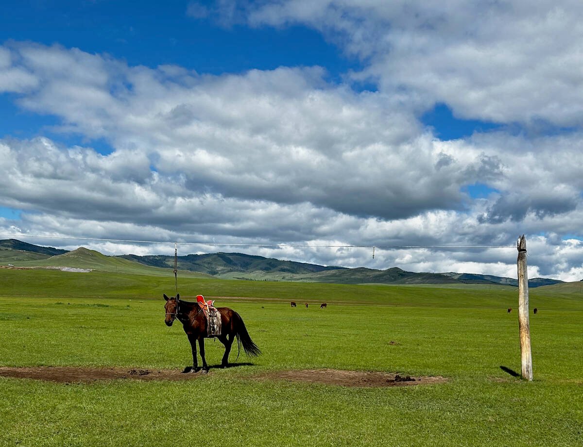
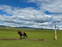
University of Saskatchewan experts helping ‘herders’ in Mongolia
The Canadian government and the University of Saskatchewan are part of a $10 million project trying to help Mongolian farmers modernize their practices.
“There’s next to no sub-moisture. It’s not been a very fun year.”
Even though a poor economy has held farmers back, Mattson thinks there will be a fit for site specific management once grain prices and technology improve.
She is looking for a good on-the-combine protein monitor for wheat. In Montana, 14 percent protein in wheat is considered ideal and penalties are imposed for variations. A researcher took 460 samples of wheat during harvest from one of Mattson’s fields. The protein ranged from 8.7 to 13.1 percent.
Mattson hopes GPS technology will help the family know where in the field to apply nitrogen during seeding to even out wheat protein levels. Soil tests have shown they need to add from five to 90 pounds of nitrogen per acre throughout the field.
“We want to apply fertilizer only where it’s needed to try and even out protein throughout the field,” she said.
“We would not suggest that this method replace basic soil sampling but may be an alternative until a better method is designed.”
Linda Hall with the agronomy unit of Alberta Agriculture estimates the province’s farmers could save $23 million if there was a 10 percent reduction in herbicide use across the province.
“Ten percent is easy,” said Hall.
Using an all-terrain vehicle, a global positioning system and some computer software, Hall showed how farmers could save up to one-third the cost of wild oat herbicide and half the cost of Canada thistle spray.
With a GPS unit mounted on an all-terrain vehicle, Hall clicked on the GPS unit each time she saw a patch of thistle while the driver drove up and down the field. A map was drawn showing where the weeds were found and the patches sprayed.
Depending on the severity of the infestation, the herbicide use was 20 to 60 percent lower than a blanket field application.
“I feel it’s a very effective way of Canada thistle control.”
The same research was done on four fields infested with wild oats near Lloydminster with mixed results.
Hall estimated the herbicide savings ranged from $2,288 to $3,100, about one-third the cost of the herbicide, but it was more difficult to measure when there were enough wild oats to spray.
But few farmers have three spare hours to map weeds in the busy spring season, she said.
“The techniques are primitive yet.”
Leduc grain and dairy farmer Cor Abma can’t imagine life without GPS technology, but he’s hard-pressed to say how much money the technology has saved him.
“A lot of the gains are really small.”
Abma uses maps produced from his combine yield monitor to try to improve the heavy gumbo fields south of Edmonton. Manure from the dairy is spread evenly on the poor quality land in an attempt to improve productivity. One year the manure was applied too heavily in one area and the crop lodged in a tangled mess. The data from the combine yield monitor told him how little crop they took off from that mistake.
When the yield monitor is calibrated properly, he will know within 100 bushels how much grain he took off a quarter section field.
The on-combine moisture meter also saves trips back to the house for moisture samples. The field map generated from the GPS system even tells if he has missed some swaths in the field.
“It’s a very helpful tool.”
Abma’s next purchase will be a parallel tracking system to allow him to seed, apply fertilizer or spray without overlaps.
Curt McNaughton of Rumsey said it’s difficult to see a four to five bu. yield difference in a field, but with yield mapping equipment the evidence is hard to ignore.
Good field mapping equipment gives farmers long-term data they can use to plan where to add or reduce fertilizer, said the central Alberta farmer. Using the technology, he has made larger fields to reduce turns and overlaps to save money.
By watching the moisture meter on the yield monitor, he can harvest parts of the field earlier than others. He can then bin the dry grain separately and dry only the tough loads.
The GPS unit has saved the family days of picking rocks, he said. Because rocks are hard to see in a zero tillage field with high stubble, the combine operator clicks on the GPS unit each time there is a rock. Instead of spending one week crisscrossing a field looking for rocks, the job can be done in two days.