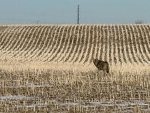
Spring is flying by, and the big question now is, when will we start seeing summer-like temperatures?
Will we see a dramatic switch like we saw last year, when around May 10, daytime highs soared into the upper 20s across the Prairies and stayed that warm or warmer right through to the end of June? Or will it be a slow transition into summer?
When looking back at last month’s weather, it was interesting to see how consistently the temperatures deviated from the average across each of the three Prairie provinces.
Read Also
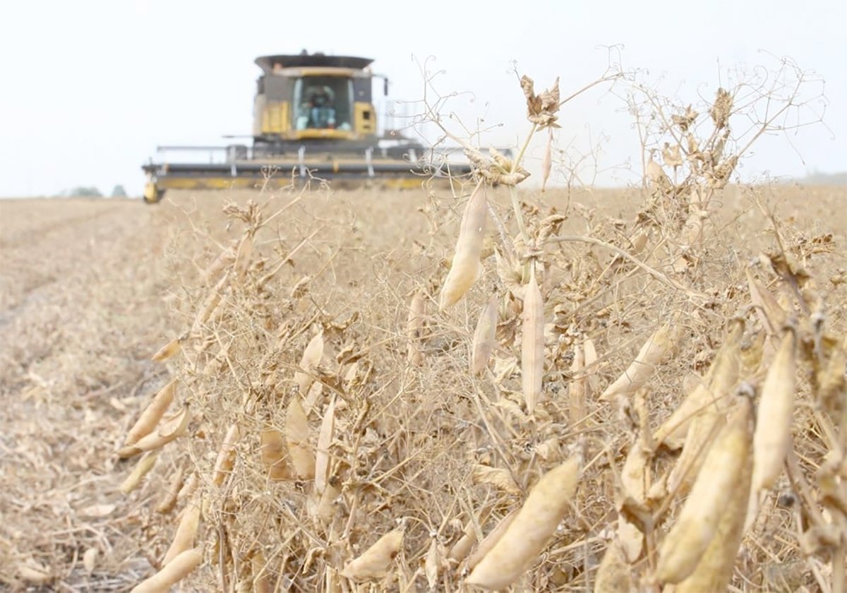
Chinese, Indian tariffs take toll on pea prices
The disruption of pea exports from Canada’s largest customers will likely result in slow pea exports for the remainder of the crop year.
Now on to the latest forecast for the remainder of May, along with June and July.
As usual we will start with the two almanacs — which I feel I should point out have been way off for months now.
According to the Old Farmer’s Almanac, May will see slightly below-average temperatures and precipitation. Temperatures will warm to slightly above average in June with well-above-average temperatures in July. Precipitation in both June and July is predicted to be below average.
Looking at the Canadian Farmer’s Almanac, it’s much tougher to figure out exactly what they are calling for.
May sounds like it will be a little cooler than average along with above-average precipitation. June’s prediction seems to be leaning toward near to slightly above average as they mention cool and chilly a couple of times along with hot and very warm a couple of times. Precipitation looks to be near average as they call for showers and thunderstorms several times during the month.
Looking at July, they appear to be calling for a warm start to the month but then turning cooler during the second half. Precipitation looks like it will be near average, as again they are calling for showers and thunderstorms several times in the month.
Now moving on to the computer models, starting with NOAA’s three-month forecast. Extrapolating it northward, it appears that the central and eastern Prairies will see near-average temperatures and precipitation with western regions seeing warmer-than-average temperatures, along with below-average precipitation.
Next up is the CFS model (the U.S. medium- to long-range model). This is calling for a cool start to May, with above-average temperatures moving in during the second half of the month and lasting right through to July. Best chances of above-average temperatures will be over the northern half of the Prairie provinces. The precipitation forecast is calling for above-average amounts stretching from western Manitoba across extreme southern Saskatchewan and into southern and central Alberta with near-average amounts elsewhere.
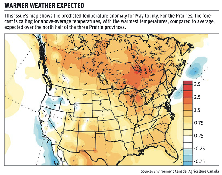
Moving on to the Canadian or CanSIPS model, it’s predicting a similar temperature pattern as the CFS model but is only showing a few pockets of above-average precipitation in both the southern half of Alberta and Saskatchewan, with near-average amounts elsewhere.
The last model — and last month’s winner — is the European model or ECMWF model. This model is painting a less rosy picture with above to well-above-average temperatures across all three months with near- to below-average precipitation, with Saskatchewan seeing the best chance of below-average amounts.
Last is my “throw at the long-range weather dartboard.” I must admit I am a little unsure, but my gut says to go with the CanSIPS model of above-average temperatures with near-average precipitation. As usual, all we can do is sit back and see what happens.
Daniel Bezte is a teacher by profession with a BA in geography, specializing in climatology, from the University of Winnipeg. He operates a computerized weather station near Birds Hill Park, Man. Contact him at dmgbezte@gmail.com.