The number of days in June when daytime highs made it past 30 C show the unseasonal weather. Using only the main reporting stations from each province, Winnipeg was the only location to record a day above 30 C, when the daytime high hit 30.4 C on June 24. The warmest days in all other locations were in the 27 to 28 C range.
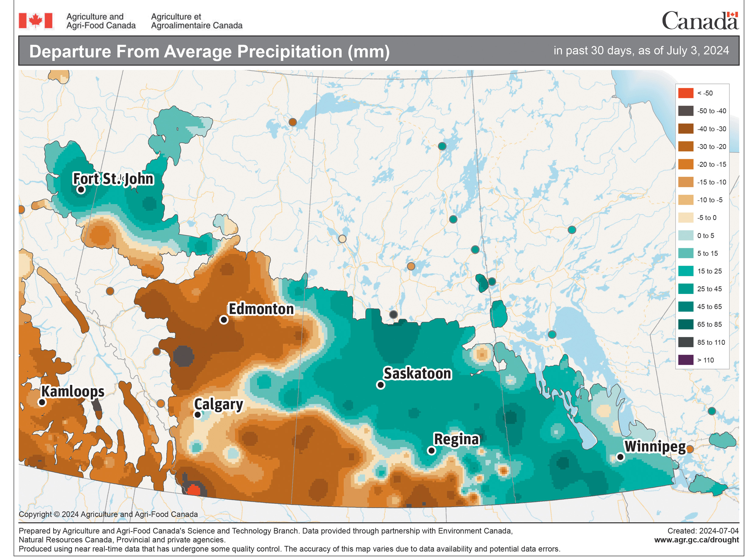
Let’s look at June in detail, starting in Alberta. All three locations reported mean monthly temperatures below the long-term average. Edmonton and Peace River had a mean monthly temperature around 12.7 C, which was about 1.5 C colder than average.
In Calgary it was a little warmer, with a mean monthly temperature of 13.6 C, only 0.1 C below average. Precipitation in June was near to slightly below average in both Calgary and Edmonton, with Calgary recording 83 mm and Edmonton 67. Peace River reported about 118 mm, which was well above the average of 66.
Read Also
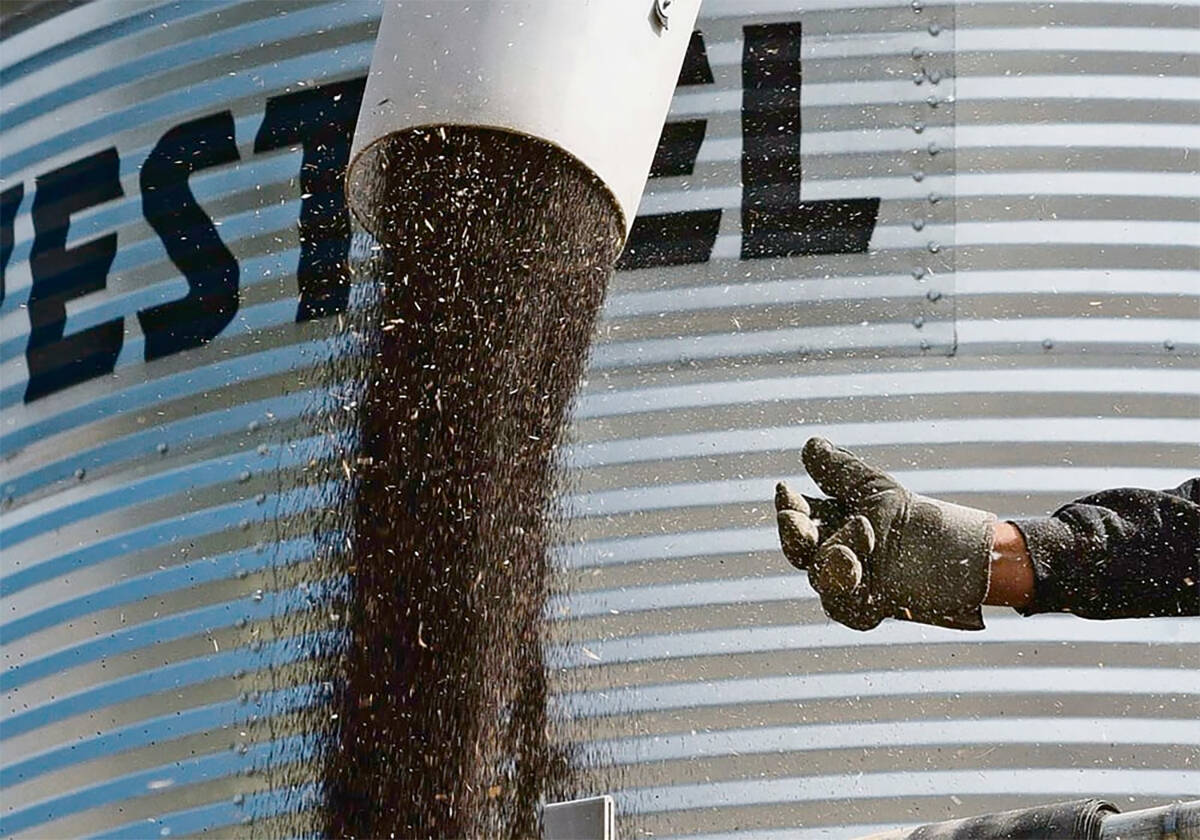
Farmers urged to be grain-safe this fall
Working around grain bins comes with risk, from farmers falling to drowning in grain: Experts have five tips to help avoid grain-related accidents this harvest.
In Saskatchewan, we find the coldest temperatures compared to average. Both Regina and Saskatoon reported mean monthly temperatures of 13.7 C, which was 2.0 C below average in Saskatoon and 2.5 C colder than average in Regina.
As is usual when you have below average temperatures in June, precipitation was well above average. Both locations reported around 110 mm, which is about 40 mm more than average.
Manitoba had the warmest monthly temperatures but they were still below average. Winnipeg was the hot spot with a mean monthly temperature of 16.5 C, which was 0.5 C below average. Brandon and Dauphin had mean monthly temperatures of around 15 C, about 1.0 C below average.
Brandon was the wet spot with 126 mm of rain, which is 45 mm above the long-term average. Winnipeg reported about 103 mm, or 15 mm more than average. Dauphin was the dry spot with a monthly total of 75 mm, which is slightly below average.
Overall, it was a cooler and wetter than average June across most of the Prairies. None of the forecasts predicted the lower temperatures, and only the CFS model came close on the precipitation forecast.
Let’s see if any long-range forecasts can do better with July and August.
Looking at NOAA’s forecast and extrapolating it northward, it appears July and August will see above-average temperatures, with the warmest temperatures over western regions. Precipitation is forecast to be below-average in the west and near-average in the east.
The CFS model calls for a cool start to July, switching to above-average temperatures. These are then forecast to continue into August, with western regions the warmest compared to average. After a wet start to July, the model shows dry weather for the rest of the month. August’s forecast is for near- to above-average precipitation.
The CanSIPS model calls for below-average temperatures across the southern Prairies in July with only northern Alberta seeing above-average temperatures. July’s precipitation is forecast to be below-average over the northern half of the Prairies with near- to above-average amounts in the south.
In August, the model forecasts temperatures across the south at near to slightly below average, with above-average temperatures expected to continue in the north. Precipitation is forecast to be near to below average for the month.
The ECMWF calls for above-average temperatures in July and August.
Here is my best guess. I lean toward the CFS model because there are strong indications that our weather pattern will switch into a much warmer pattern. These warmer-than-average temperatures will likely last into August. I expect precipitation will be near-average.