By Karen Braun, Reuters market analyst
(Reuters) — The decay of El Nino and the onset of La Niña are occurring more rapidly than it would appear.
The timing of La Nina’s arrival is important to commodities markets because it has vastly different effects on global climate than its warm counterpart, El Nino.
For example, an early La Nina that arrives by June or July could create complications for U.S. summer crops by bringing dry and hot weather. However, dry regions of Australia, Southeast Asia, and sub-Saharan Africa could receive ample rainfall before the peak of their next crop season.
Read Also
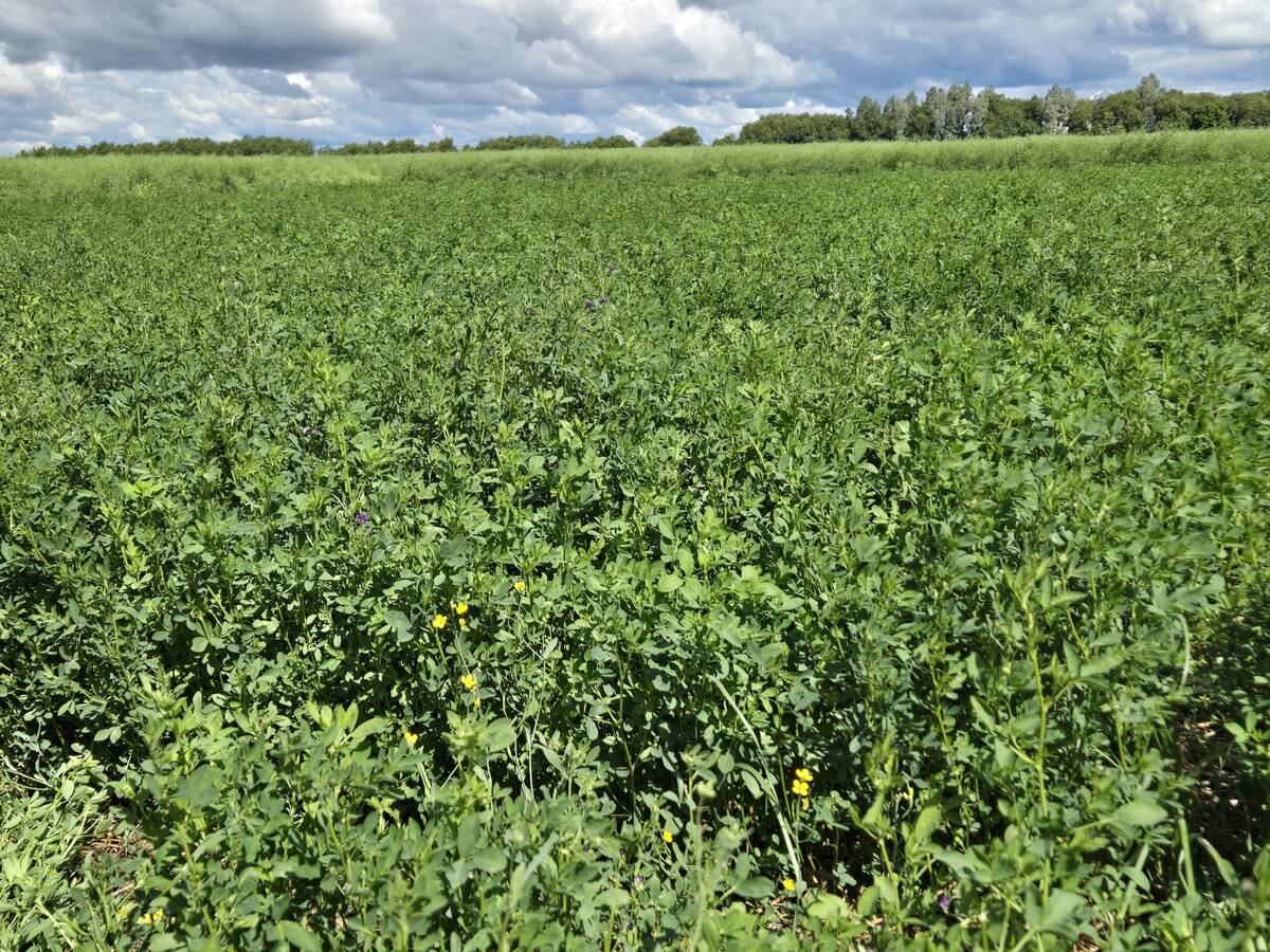
Manitoba Parkland research station grapples with dry year
Drought conditions in northwestern Manitoba have forced researchers at the Parkland Crop Diversification Foundation to terminate some projects and reseed others.
The lingering of extremely warm water in the equatorial Pacific Ocean has led to flawed assumptions that El Nino is decaying at a slower pace than in previous years and that the transition to La Nina will happen later than initially expected.
However, the platform for La Nina’s entrance has been in the assembly phase since late last year, and new data suggests that construction is nearly complete.
We watch a couple of key atmospheric and oceanic variables to signal the switch from El Nino to La Nina, and now more than ever, these variables are pulling the final plugs on El Nino.
The cold pool just beneath the surface of the Pacific Ocean continues its rapid expansion and has nearly overcome the El Nino warmth on the surface, making remarkable strides in the final three weeks of March.
The anomaly lost heat during March at the same rate as in February, and decidedly cool waters now dominate the subsurface Pacific Ocean.
A slowdown or reversal in this cooling trend does not seem likely because the atmosphere is becoming increasingly supportive of it. The Southern Oscillation Index, which measures pressure tendencies over the Pacific Ocean, made a massive leap out of El Nino-favouring territory last month and is now ahead of the pace of similar years 1998 and 2010.
Trade winds in the western and central Pacific, which are another key supporting variable, no longer favour El Nino, though they are not definitively in the La Nina camp, either.
However, if the SOI continues on its upward trend, the winds might be encouraged to strengthen and move the Pacific Ocean closer to La Nina.
A graph of sea surface temperature anomalies in the defining Nino 3.4 region suggests that yes, 2016 is decaying at a slower rate than the other years.
However, given both the record peak it is coming from and the recent changes in the ocean and atmosphere, it would actually not be surprising to see the transition happen just as quickly as in 1998, if we truly are to enter into a stronger La Nina.
Not only is the atmosphere supporting a faster switch to La Nina, but now so is a major climate model.
It was recently announced that the Climate Forecast System Version 2 model, commonly known as CFSv2 and run by a division of the U.S. government, had accumulated an error that was massively skewing the results.
In a nutshell, the model built up an erroneous cold bias in the Atlantic Ocean, which significantly altered global sea surface temperature forecasts. This bias has since been corrected, but before the correction, CFSv2 was one of the only models predicting a continuation of El Nino.