What I predicted might happen, did. Right from the beginning of June, we skipped past spring and jumped right into the middle of summer.
Looking back at the temperatures for June, nearly all the stations recorded mean monthly temperatures that were well above the long-term average for the month. In fact, June’s mean monthly temperatures were near or above the averages for July.
So, it truly was like jumping straight into the middle of summer.
Just how hot was it? Let’s start off in the coolest province, both in relative and absolute terms — Alberta. The Calgary and Peace River regions came in with mean monthly temperatures around 16 C. For Calgary that was about 2 C warmer than average, while in Peace River district, it was about 1.5 C warmer.
Read Also
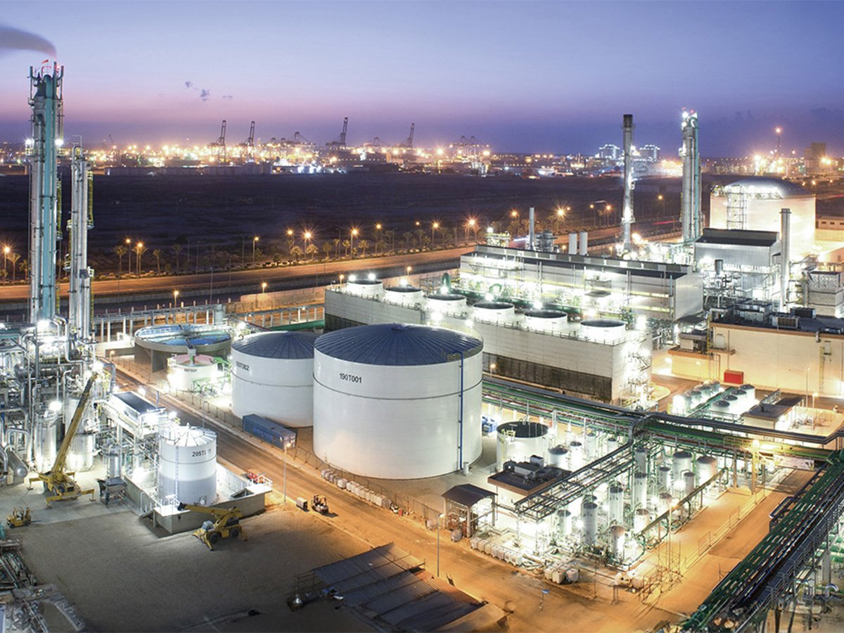
Genesis Fertilizers seeks government funding
Genesis Fertilizers is actively seeking funding from government and a strategic partner. The company dispelled a rumour that DL E&C has abandoned the project.
Edmonton was the hot spot with a mean monthly temperature of 18 C, which was a slightly more than 3 C warmer than average. Precipitation varied with both the Calgary and Peace River regions seeing below average amounts with the Edmonton region coming in above average.
The next warmest region was Saskatchewan. Regina and Saskatoon reported mean monthly temperatures in June that were between 19 and 20 C. This was a good 3 to 3.5 C above the long-term average for the month and between 0.5 and 1.0 C warmer than July’s average. Precipitation was near average in Regina and below average in Saskatoon.
The warm spot in June was Manitoba. Mean monthly temperatures range from nearly 20 C in Brandon and Dauphin to a balmy 21 C in Winnipeg.
These temperatures were about 4 C warmer than average and if we compared them to July’s average, they would still be a couple of degrees above average.
Precipitation during June ranged from near to slightly below average in Winnipeg and Dauphin to above average in the Brandon regions.
How did the weather models do with June’s forecast? Looking back, I would have to give the win to the Canadian CanSIPS model that called for well-above average temperatures with near average precipitation. None of the forecasts correctly pointed out the spotty nature of June’s precipitation, with some stations reporting near and above average amounts, while other below average.
Moving on to the latest long-range forecasts, the Old Farmer’s Almanac is calling for near average temperatures and precipitation in July followed by a warm and wet August.
The good folks over at the Canadian Farmers’ Almanac appear to be calling for a hot and dry July. They predict August will cool to more average temperatures. It also looks like the month will get progressively wetter.
For the NOAA computer model, which cuts Canada out of its long-range forecast maps, I extrapolate the data the best I can into Canada. This forecast is most accurate for the southern half of the Prairies. According to NOAA, it looks like most of the Prairies will see near average temperatures over the next two months with Alberta seeing the best chance of above average temperatures. Their precipitation forecast is calling for near average amounts.
The usually reliable CFS model is calling for near to slightly below-average temperatures in July with the coolest temperatures, compared to average, expected to be in southern Saskatchewan. Temperatures look to rebound to above average in August. Precipitation, according to the model, will be above average in both July and August.
The final model is last month’s winner, the CanSIPS model. It calls for a continuation of our above average temperatures along with near to below average precipitation.
Daniel Bezte is a teacher by profession with a BA in geography, specializing in climatology, from the University of Winnipeg. He operates a computerized weather station near Birds Hill Park, Man. Contact him at daniel@bezte.ca.