As we work our way into summer, an ugly weather term has popped up: upper-level low. The coolish, unsettled weather we’ve seen in early July has largely been the result of an upper-level low that formed over Hudson Bay.
Let’s look at upper-level lows and why they become so annoying, especially in summer.
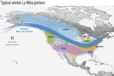
So far this year we have not had to deal with the typical upper-level lows that usually form over Hudson Bay and then meander, pumping cold unsettled air southward into Manitoba.
Read Also
Pakistan reopens its doors to Canadian canola
Pakistan reopens its doors to Canadian canola after a three-year hiatus.
Unless you are in a drought and praying for rain, upper-level lows are never a good thing. They are usually tough to forecast because they tend to move very slowly, and because of that, they can stick around for days or even weeks.
Their slow movement can result in plenty of chances for rain. Depending on the nature of the upper-level low, we sometimes see widespread rain, while other times the rain will come in the form of scattered showers or even thundershowers.
The current upper low is meandering well to our north, so we will most likely see scattered showers, maybe the odd thundershower and cooler weather.
Upper-level lows are often associated, at least at first, with strong surface lows. These can form for a number of reasons, but most of them form along the boundary between two different air masses and are associated with the jet stream.
Areas of low pressure tend to form in the turbulent flow along the edges of the jet stream. This is kind of like watching eddies form in the water when two different currents meet.
These eddies, or lows, tend to move along fairly quickly if they stay along the edge of the two different currents or jet stream. Occasionally, they can break away, and when they do, they tend to meander until they either slowly weaken or get caught up in the main current once again and quickly move away.
Usually, the jet stream flows in a gentle wavy pattern. Sometimes we see extreme loops, creating strong ridges of highs and troughs of low pressure.
As these ridges and troughs strengthen, cold air in the upper atmosphere is pulled into the low, creating a pool of cold air above the low. This reduces the height of the atmosphere over that region, which lowers the pressure in the upper atmosphere, creating an upper low.
In summer, we tend to see a lot of showers and thunderstorms develop. During the day, the sun warms the surface area under these lows. The warming air then starts to rise and as it does, it finds a cold atmosphere around it. The air continues to rise, creating showers and thunderstorms, usually by mid- to late afternoon.
These showers and storms tend to weaken overnight, only for the whole cycle to begin again the next day. So, with upper-level lows we will usually see a nice, bright, sunny start to the day. Then by late morning clouds develop, followed by showers or thundershowers in the afternoon. These stick around until early evening and we begin to see the skies clear.
To sum it up, upper-level lows on their own are not necessarily a bad thing. Things get bad when they break away from the jet stream or are cut off from it, forming a cut-off low.
These lows move slowly and bring prolonged periods of cool, unsettled weather. Also, because of their slow movement, we can see large amounts of rain and forecasting becomes difficult.
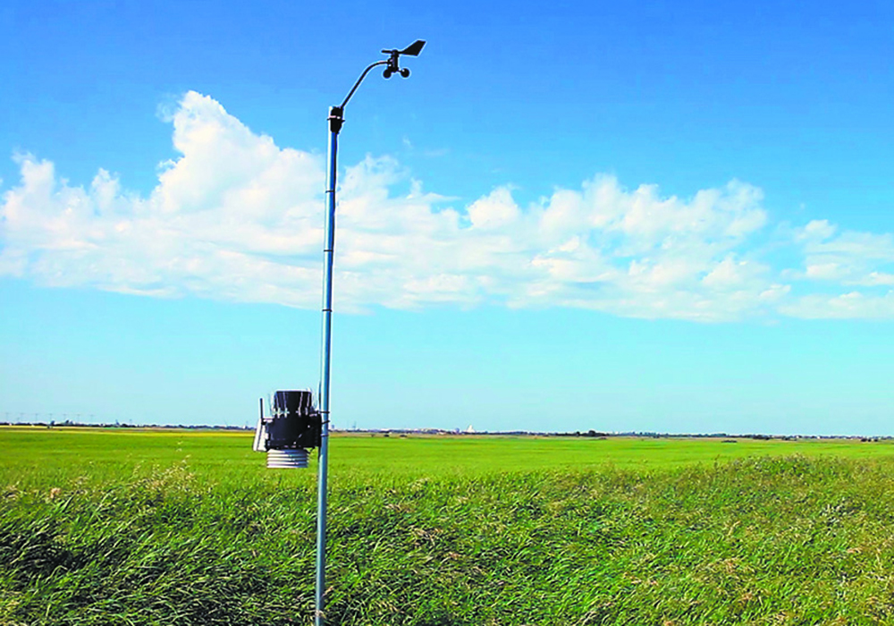
Daniel Bezte is a teacher by profession with a BA in geography, specializing in climatology, from the University of Winnipeg. He operates a computerized weather station near Birds Hill Park, Man. Contact him at daniel@bezte.ca.