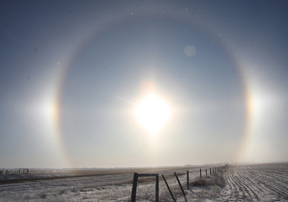
When you hear statistics about winter, the data usually describes meteorological winter — December to the end of February.
In some parts of North America this makes sense, but in our part of the world, not so much. I often discuss our winter in terms of the extended winter, the months when we actually see winter conditions across the Prairies. That span is November through the end of March.
No matter how much we think or wish we won’t, we usually get about five months of winter every year. The nice thing is that our springs and falls are relatively short, which means we have a decent summer of three months.
Read Also
Saskatchewan project sees intercrop, cover crop benefit
An Indigenous-led Living Lab has been researching regenerative techniques is encouraging producers to consider incorporating intercrops and cover crops with their rotations.
Where am I going with this? It’s time to look back at the extended winter across the Prairies to see how the numbers add up. After all, according to Environment Canada, this past winter was the warmest on record across the country with a mean temperature of … I don’t know.
The news release from Environment Canada only reported that this winter (December to February) was 5.2 C warmer than average, which beat the previous record of 4.2 C warmer than average in the winter of 2009-10. While we knew last winter was warm, beating a previous record by a full degree is significant.
Before getting into that, the first reports on March global temperatures were just released by the Copernicus Climate Change Service, which is part of the European Centre for Medium-Range Weather Forecasts.
According to its news release, global surface air temperature for March was 14.14 C, which was 0.73 C above the 1991-2020 average for March. It was 0.10 C above the previous high set in March 2016. The March anomaly was slightly smaller than the 0.81 C anomaly recorded for the previous month.
There are indications that April may not break another monthly record because global temperature anomalies are trending downward as we transition from El Nino to La Nina, but that said, global temperatures are still running at or above any previous April so far.
Now for a look at our extended winter to see how warm and dry it was across our part of the world. It’s summed up in the accompanying table, which compares actual temperatures and precipitation to long-term averages, and calculates a plus or minus anomaly that demonstrates how this winter deviated from the long-term average.
All main reporting stations across the Prairies recorded well above average temperatures last winter. The area starting in southern Manitoba and stretching northwest into northern Alberta was the warmest compared to average. Winnipeg reported in as the warmest location with an extended winter temperature that was 4.2 C above average.
Precipitation across the Prairies was, with one exception, below average this winter. Looking back at previous warm winters, dryness is not unusual, but it does exacerbate current drought conditions. The driest regions this winter seem to correspond with the warmest locations along the northern parts of the agricultural Prairies.
Peace River in northern Alberta saw only 30 per cent of average precipitation and was the driest location compared to average and in total amounts. Calgary had well above average precipitation this past winter, spread over four of the five months. Only November had below average amounts.
Overall, it was a very warm and dry extended winter across the Prairies and hopefully Mother Nature does not try to make up for it with a cold and snowy spring – though it does seem like it so far for southern Alberta.
Daniel Bezte is a teacher by profession with a BA in geography, specializing in climatology, from the University of Winnipeg. He operates a computerized weather station near Birds Hill Park, Man. Contact him at dmgbezte@gmail.com.