After spending a couple of issues looking at the main factors that may influence this winter’s weather, it’s time to sum things up and see what the various forecasters are predicting for the months ahead.
Early snowfall across Siberia can influence the Arctic and North Atlantic Oscillations, often leading to warmer, drier winters across the western Prairies, while eastern regions tend to see cooler, wetter conditions.
A warmer-than-normal northern Pacific Ocean usually produces a similar result.
Read Also
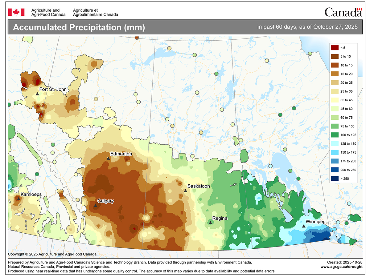
Prairies have variable soil moisture conditions
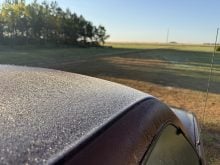
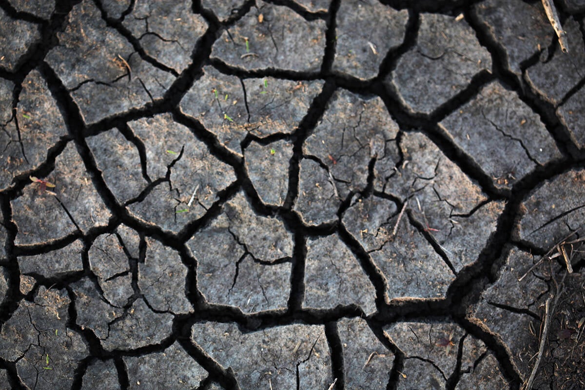
The dry weather in the west was welcome for preserving grain quality and advancing harvest, but it has resulted in very dry soil moisture conditions.
If those were the only players, we could expect that pattern this winter.
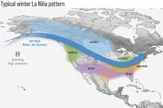
However, a third factor, La Niña, complicates the picture.
Even though it’s expected to be weak, La Niña often brings colder-than-average winters across the Prairies, with wetter conditions in the west and drier weather in the east, directly opposing the influences of early Siberian snow and the warm northern Pacific.
Then there’s the wildcard: random variability.
The atmosphere is full of unpredictable combinations of events that can completely change a seasonal outcome. While short-term forecasts have improved dramatically, predicting weather months in advance still involves a large element of chance.
Now let’s look at what the long-range forecasts are saying.
The Old Farmer’s Almanac calls for a mild winter with near- to slightly above-average precipitation.
The Canadian edition expects near- to below-average temperatures and above-average precipitation.
The CFS model, one of the more reliable long-range tools, predicts near-average temperatures overall, trending cooler across northern and northwestern areas as winter deepens. It shows near-average precipitation in the east and above-average amounts in the west.
The Canadian CanSIPS model suggests a warmer start to winter, with temperatures moderating to near average by December and January. It also points to near-average precipitation early on, shifting to wetter-than-normal conditions in western regions later in the season.
The National Oceanic and Atmospheric Administration forecast from the United States, when extended northward, projects near-average temperatures to start, trending cooler later, with above-average precipitation in the west and near- to slightly above-average amounts in the east.
The European ECMWF model shows near-average temperatures across the Prairies throughout the season, a shift from its usual warm bias. Its precipitation outlook closely matches others: wetter-than-normal conditions in the west and near-average amounts in the east.
When looking at all these forecasts together, there’s no strong consensus on temperature. Predictions are pretty evenly split among above-, near- and below-average outcomes. Precipitation, however, leans toward near- to above-average values across most of the Prairies.
If I were to make a call, I’d expect a winter of sharp temperature swings, with warm periods followed by sudden cold snaps, averaging out to near-normal overall.
For precipitation, the odds favour a wetter-than-average season, especially across Saskatchewan and Manitoba, with southern Alberta closer to average amounts.