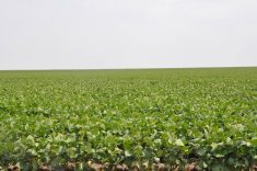
Expect a wetter spring than normal across most of the Prairies, said Trevor Hadwen, an agro-climate specialist at the Regina bureau
news of the National AgroClimate Information Service.
“For most of the Prairies, I would say wetter, but for the southern parts, it looks like there are dry pockets,” he said.
In southern Alberta, southwestern Saskatchewan and portions of southern Manitoba, fall moisture may have played a critical role in spring seeding and grazing.
“If you had some good rains before freeze-up, you will have a lot of soil moisture already. But if it was dry in the fall, and you have low snow pack, you could end up with a lot of problems,” said Hadwen.
Read Also
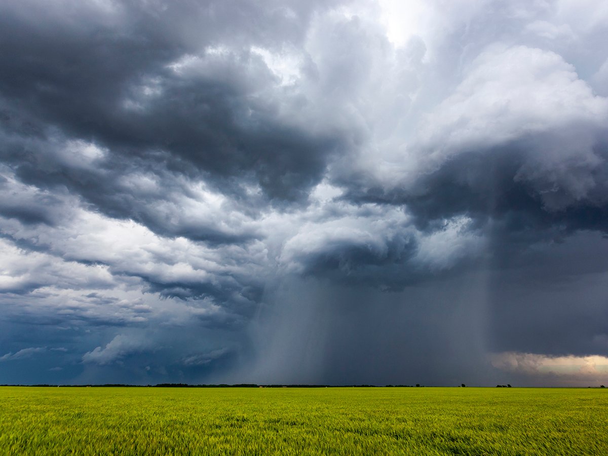
Extreme rain increases as planet warms
In this issue, we are going to wrap up our look at extreme rainfall by examining the different weather patterns that tend to be associated with these rainfall events.
Darlene Hofer, who lives near Maple Creek, Sask., said that apart from the snow that has been blown into the coulees and patches left on the north slopes of hills, the ground is mainly bare.
“We’ve had such horrific winds here that nothing is really left on the level spots,” she said.
Her area didn’t get last week’s snowfall that hit the eastern parts of Saskatchewan and dumped a heavy load on southwestern Manitoba. With the ground still frozen, it’s hard to tell how much moisture there is under the surface, she added.
“But I never get too excited about it because our best snowstorms come in March and April.”
Bill Dobson, president of Wild Rose Agricultural Producers, who farms near Paradise Valley, Alta., said his area has seen a complete turnaround from the drought of 2002.
“It’s probably the most snow we’ve seen in a few years, at least. It’s excellent,” he said, adding that soil moisture was high after freeze-up, with a good snow pack all winter long.
After the crop was in last fall, it rained five days straight.
“It may hold us back a little, but you never know. Things can change pretty quick when the sun comes out,” said Dobson.
Hadwen said that the northern Prairies are for the most part wetter than average, while the south is predominantly dry.
Surface run-off predictions as of mid-February are showing below normal levels for the southern Prairies.
“The northeastern part of Saskatchewan where they had all the flooding last year has twice the normal snow pack right now,” he said. “There will be major concerns out there, depending on how fast the snow melts.”
The area from Calgary through to Swift Current was dry going into last year and didn’t have snow pack until early January.
“People are saying that it looks like there is low snow pack, but the moisture content in what’s there is quite high,” he said. “But if it melts really quick, a lot of it will just run off into the dugouts and streams.”
In Manitoba, between Dauphin and Portage la Prairie, moisture levels indicate higher than normal accumulated precipitation.
“The Peace River area has received a lot more than normal. People I have talked to up there have said that it’s been the strangest winter they’ve had in 30 years,” said Hadwen.
Leo Meyer, who grain farms in Woking, Alta., north of Grande Prairie, said a year and a half of drought was ended by an extremely harsh winter with unusually high amounts of snow.
“I’m tired of winter. We have a pretty dramatic snow pack. I don’t think we have ever plowed so much snow,” he said, adding that some of the piles in the yard are as high as the roof of his pickup.
With the ground covered so well, the soil never got a chance to freeze all winter, he said. Consequently, spring melt water will likely be quickly absorbed by the dry soil.
“I don’t think early spring seeding will be a possibility. At best we will have normal seeding,” said Meyer. “The way it looks now, we could even be late.”
Snowfall measurement across the Prairies is somewhat less than perfect, said Hadwen. While existing maps do show a good general pattern, discrepancies are common due to a shortage of weather stations.