In the last issue we did our monthly weather review and then looked ahead to see what the different long-range forecasts were predicting for the upcoming months.
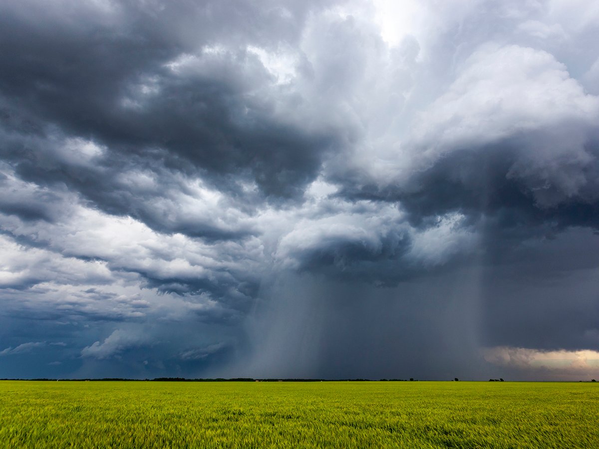
In this issue, we are going to wrap up our look at extreme rainfall by examining the different weather patterns that tend to be associated with these rainfall events and tie in changing weather patterns and how they might contribute to extreme rainfall.
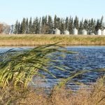
The two main conditions that are almost always needed to be present for extreme rainfall are plenty of moisture and slow movement of systems.
Read Also
Phosphate prices to remain high
Phosphate prices are expected to remain elevated, according to Mosaic’s president.
With the changes that our atmosphere are currently undergoing due to a warming planet, these two conditions seem to be becoming more prevalent.
I discussed in the last article how a warmer atmosphere and ocean are leading to an increase in the available atmospheric moisture.
OK, so overall it looks like the atmosphere can and will hold more moisture and that moisture will be available to produce rainfall.
There is also emerging evidence that a warming planet is leading to a slowing down of weather systems and the development of more blocking patterns.
If you remember back, blocking patterns are when certain configurations of highs and lows develop that tend to not move much, or they block the movement of weather systems — thus the term blocking pattern.
We often remember blocking patterns when they bring long periods of warm dry weather, but they can also bring long periods of cool wet weather. It all depends on where you are in relationship to the block.
Why the slow down? To put it into simple terms, as the planet warms, the poles warm significantly faster than the equatorial regions. This lessens or weakens the temperature gradient between these two regions.
This temperature gradient is the driving force behind most of the atmospheric circulations, such as the jet stream.
As they weaken, systems will move slower, and the pattern become more meandering, kind of like a river. If it is flowing down a steep hill, it tends to stay relatively straight, but when it is flowing slowly across a flat region, such as the Prairies, it meanders or curves back and forth.
Are we going to continue to see a continuation of the slowdown and more meandering and blocking patterns in the future? I think so.
Chances are we will see more of the shifting between dry and wet patterns. Sometimes it will be within short time frames of dry one month and wet the next and other times over longer periods where we will see a season or year or two that are dry followed by just as long wet periods.
This is what is making long-range weather forecasts much more difficult.
Weather models rely partially on past experience — that is, what happened in the past when a certain weather pattern was present. The problem now is that the atmosphere is not behaving exactly the same way as it did in the past, and in my opinion, things are going to get more uncertain over the next few decades.
In the next issue, I am going to examine some of the folklore around what the upcoming winter might be like.