CAMROSE, Alta. – The Camrose Agricultural Society is hoping a computer program will help attract rural business to the area.
The ag society is using a geographic information system to learn more about the region. By doing this, it will know what businesses are best suited for the area, said Judy Finseth, the ag society’s director of rural development.
A geographic information system is a powerful computer program that takes information from several areas to create a layered map.
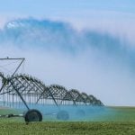
Information on water and soil quality, roads, crop yields and pastures can be entered into the computer. From this the GIS program can create a picture of the area.
Read Also
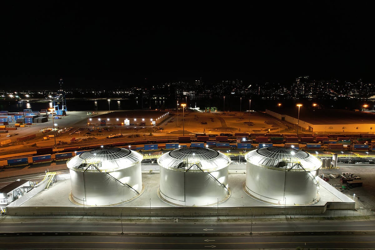
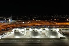
Canola oil transloading facility opens
DP World just opened its new canola oil transload facility at the Port of Vancouver. It can ship one million tonnes of the commodity per year.
“GIS gives you a good way to display the information,” said Finseth.
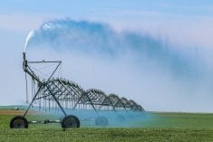
Through the GIS mapping process, the ag society learned there is a shortage of good-quality water in the county. With this information, the ag society can target businesses that don’t need a lot of water or realize other sources of water will have to be used.
The Prairie Farm Rehabilitation Administration helped the ag society with the computer program. Gary Bank, PFRA’s district manager in Red Deer, said they are excited about possibilities of GIS mapping in rural communities.
“Where local government is interested in their resources, we’re working with them to paint a picture using GIS.”
Bank said the technology can be used to point out opportunities and weaknesses in a particular region.
It became obvious in the Camrose study that water is a limiting factor, he added.
“If you’re looking at economic development you don’t want to be attracting the kind of industry that relies on good-quality water.”
PFRA is also working with the provincial potato industry to locate new potato growing areas using GIS.
“They want to know where they can go to plant potatoes,” he said.
“It’s a tool we can use to help with achieving a strong rural economy and maintaining a healthy environment.”