A new mapping tool will help Albertans better manage the quality and quantity of underground water resources.
TheGroundwater Atlasfor the Edmonton-Calgary corridor was produced by the Alberta government and the Alberta Geological Survey. It provides comprehensive results of a three-year mapping project that is expected to help communities in one of Canada’s busiest economic corridors make better water management decisions now and into the future.
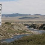
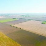
The atlas covers a variety of groundwater features in the region and includes the results of geophysical surveys taken from the air in the corridor between 2008 and 2010.
Read Also

Using artificial intelligence in agriculture starts with the right data
Good data is critical as the agriculture sector increasingly adopts new AI technology to drive efficiency, sustainability and trust across all levels of the value chain.
Airborne geophysics uses electromagnetic waves to measure the properties of the earth, rock and water below ground level. W444444hen combined with existing information, such as drilling reports, it creates a clearer picture of underground water resources.
Such mapping increases understanding of the impact of groundwater use on aquifers and connected surface water bodies.
The atlas complements other work done in the province to better understand and manage potential effects of development activities on the environment. Southern Alberta is the next region of focus.
For more information, visit www.ags.gov.ab.ca/groundwater/eccatlas.html.