Province will work with the University of Lethbridge to combine on-the-ground measurements with airborne LiDAR
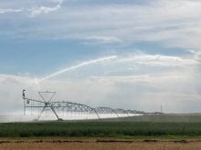
Glacier FarmMedia – The Alberta government is working with a research team at the University of Lethbridge to measure the snowpack in southern Alberta more accurately, according to a news release. The measurements will help guide water management policies and practices as the province works to better manage its water resources.
For seven months of the year, scientists with Alberta Environment and Protected Areas go up into the mountains in the backcountry to measure snow depth and density, information that is critical to managing water and reservoir levels throughout the province.
It is practically impossible for workers to physically measure snow depth and density and take samples across entire watersheds, but more accuracy can be achieved by combining the measurements and samples from selected areas with data from airborne LiDAR (Light Detection and Ranging), a remote sensing system that can map snow depth.
Read Also
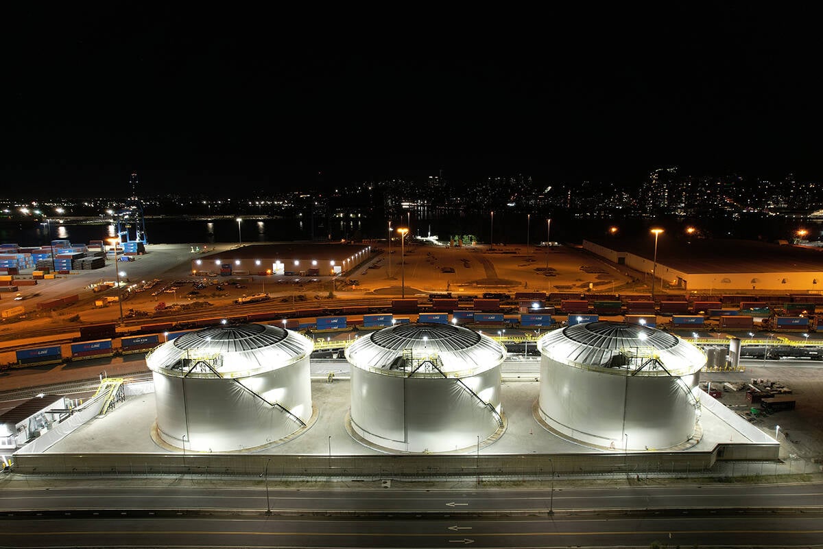
Canola oil transloading facility opens
DP World just opened its new canola oil transload facility at the Port of Vancouver. It can ship one million tonnes of the commodity per year.
“Effectively responding to drought, both this year and in the future, requires a better understanding of snowpack conditions in the mountains and the amount of water we can expect during the spring melt to refill our reservoirs and recharge our rivers,” said Brandi Newton, a hydroclimatologist with the environment department.
“Partnering with the University of Lethbridge on the use of LiDAR in our snow survey program allows us to collect detailed snowpack data over a much wider area and will ultimately help Alberta make the most out of every drop.”
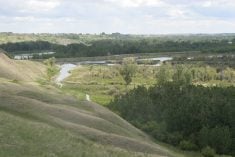
For the Bow and Oldman watersheds in southern Alberta, the U of L team conducted two airborne missions in March and April.
For the March mission, Teledyne Optech provided a state-of-the-art Galaxy LiDAR system and an operator, while Calgary-based Aries Aviation provided the aircraft.
The April mission used the university’s unique Titan Multispectral LiDAR system, with some operational support from Airborne Imaging, also out of Calgary.
The LiDAR scans sampled the Rockies from as far south as the U.S. border and north to Saskatchewan Crossing.
“The data is confirming that the snowpack in the mountains is not very abundant,” said Chris Hopkinson, a professor in the university’s geography and environment department and director of the new TECTERRA-funded Institute for Geospatial Inquiry, Instruction and Innovation (i4Geo).
“But it’s important to bear in mind that we don’t really have anything to compare it to because we’ve never done this before. All we can do is take our estimates of snowpack water equivalents in the mountains and relate it to similar data structures such as precipitation gauges, snow pillows, field data or runoff records.”
While the LiDAR results are comparable to traditional measurements, LiDAR can provide more spatially precise data.
“It’s telling us, for example, that the Oldman is showing a lot less snow water in the mountains than the Bow,” said Hopkinson.
“But we’d probably expect that anyway just because the Bow is higher in elevation, slightly farther north and has wider mountains. But now we’re able to quantify these things in a way we previously couldn’t.”
The data will be inputted into a hydrological modelling scheme to do the forecasting.
“It’s innovative because you don’t normally have a spatially continuous map of snowpack that you can then put into a hydrological model,” said Hopkinson.
“Hopefully, in the next month or two, we’ll get some scenarios from these data that will parallel or supplement the kind of forecasting work the province is doing.”