A slow moving cold front tapping moisture from the Gulf of Mexico brought wild spring weather to Alberta last week.
“It all came together in one place and dumped 100 millimetres over Calgary,” said Dave Carlsen, warning preparedness meteorologist with Environment Canada.
On June 5 more than 170 mm fell within 30 minutes at Hairy Hill and 50 mm in 20 minutes at Camrose.
Nickel-to-quarter sized hail fell near Edmonton and a pilot spotted a tornado while flying over Stony Plain.
Nickel sized hail was also reported west of Drumheller, where 75 mm of rain fell on nearby Redland.
Read Also
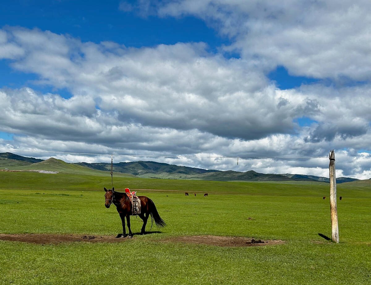
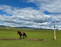
University of Saskatchewan experts helping ‘herders’ in Mongolia
The Canadian government and the University of Saskatchewan are part of a $10 million project trying to help Mongolian farmers modernize their practices.
In Saskatchewan, hail the size of peas to quarters was reported south of Swift Current.
Carlsen said May and June often bring such wild weather. Crops put out moisture, which mixes with disturbances in the upper atmosphere to create storm systems.
“You put these things together and you can get some really crazy weather,” he said.
Southern Manitoba experienced pockets of showers and heavy rain over the June 9 weekend, but there were no reports of widespread damage to crops. An area extending from north Winnipeg to Beausejour experienced the most precipitation.
In Alberta, rains returned over the weekend to leave behind 50 mm of rain at Leduc and a combination of rain and hailstorms from Edmonton to Lloydminster.
In the Calgary district, wet weather has delayed seeding by at least two weeks, said Matt Gosling of Agri-Trend Agrology at Strathmore.
“Most guys have a field not seeded.”
He said 50 to 100 mm of rain fell around Strathmore last week, 25 mm of which arrived in a one hour span June 8.
Gosling has not seen nitrogen deficiencies in crops, which are generally in good shape.
He said some fields are so saturated, they require only a “Stampede” rain in mid July to take the crops to harvest.