
The industry says a complete catalogue would help track change and understand where grasslands are being lost and why
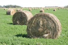
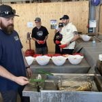
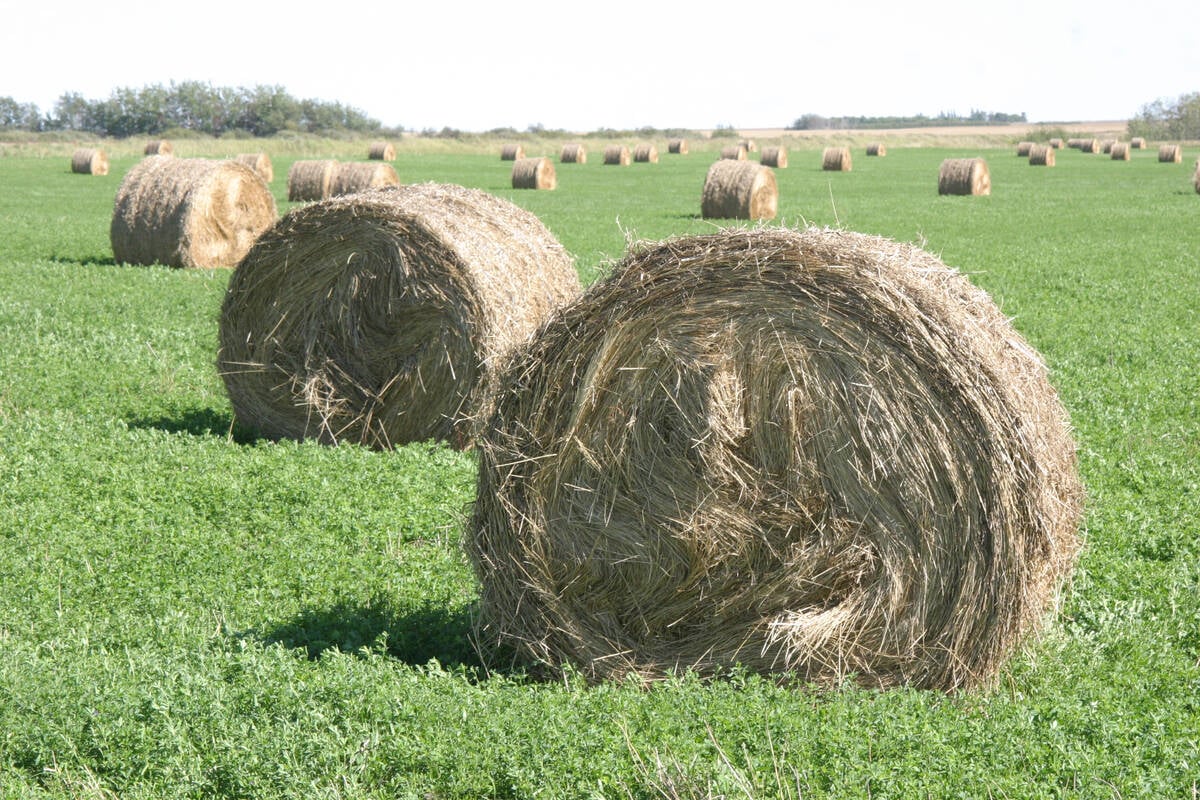
Canada contains some of the largest unbroken parcels of grasslands on the continent but a complete catalogue of those lands needs to be developed, producers heard at the Canadian Forage and Grassland Association annual general meeting.
“We don’t have one at this point,” said Cedric MacLeod, executive director of CFGA, said during the March AGM. “So, it’s difficult to assess the full extent of our grasslands and more importantly, the loss.”
MacLeod said grasslands are being lost at an alarming rate with little knowledge of where and how much pasture loss is occurring.
Read Also
Breaking down successful winter feeding into six steps
It’s that time of year when it is important to start planning for a cow herd’s winter feeding program. Here are six steps I think are necessary to consider when getting your feed tested.
“Individual provinces have varying levels of detail within their grasslands and we know Saskatchewan and Manitoba have made some significant advancements in the last couple of years,” said MacLeod, adding more work is required in Ontario.
That inventory needs to have a practical application for the forage sector in each province, he added, to match up with the needs of each jurisdiction.
Having a unified classification system for grasslands is also a challenge, explained MacLeod, whether it’s native, tame or forage.
“Which means it is hard to transfer these provincial inventories across provincial borders.”
MacLeod said grassland classification is improving because satellite imagery can produce consistent maps of different landscapes.
“The ultimate result of a grassland inventory like this is our ability to track change and understand where we are losing grasslands and why,” said MacLeod.
Nasem Badreldin, assistant professor in digital agronomy at the University of Manitoba, said accuracy is an important goal of the grasslands inventory mapping project.
“The opportunity and the challenge, at the same time, is to map nationwide grasslands with the highest spatial resolution. Not just mapping with the highest spatial resolution but also providing reasonable accuracy.”
The accuracy goal is above 90 percent, said Badreldin.
To reach that target, there will need to be annual data collection to track changes.
“We are starting to build a technical pipeline to see how accurate and how achievable mapping is with big data,” he said.
That includes data provided by radar, which can provide images of areas obscured by clouds or wildfire smoke from any date during the target periods of July and August.
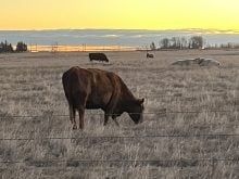
Ecologist Heather Peat Hamm said the nature of grasslands will continue to pose an obstacle for researchers.
“Grasses are some of the most difficult things to identify if you are looking at the full spectrum of species,” she said.
The difficulty in finding those who study plant taxonomy is also a tough proposition, she added.
CFGA is planning to deliver the information it collects to members soon and then develop an action plan over the next two years.