LEDUC, Alta. – It is an understatement to say farming has changed in
the last 50 years for Cor Abma.
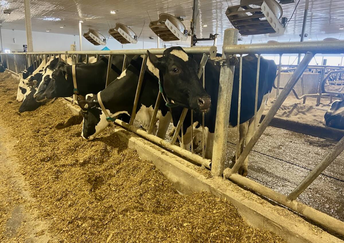
Dutch immigrants, his family started farming in central Alberta in 1951
as traditional grain and dairy farmers. Working with his two brothers,
John and Morris, they have built a prosperous farm east of Leduc.
In recent years, Cor and his wife Willy turned their interests in
computer technology to map their five quarters of land with global
positioning and satellite technology.
Read Also
U.S. farm group supports supply management
U.S. grassroots farm advocacy group pushing new agriculture legislation that would move towards supply management like Canada has for dairy industry
In 1996, a local equipment dealer introduced them to global positioning
and precision farming. Intrigued by the concept, they joined two other
farmers to test the programs.
Precision farming technology allows farmers to adjust for in-field
variabilities such as soil fertility, weeds and land contours. It uses
the global positioning system, which consists of 24 satellites that
transmit signals picked up by receivers on the farm to define the
receiver’s location. With this information, sensors installed on farm
equipment can monitor crop yields and guide applications of fertilizers
and herbicides.
It sounded good in theory, but in reality the three brothers and Willy
found themselves on their own with limited technical support as they
installed $12,000 worth of GPS equipment to measure their seeding,
spraying and harvesting performance.
“We didn’t have a clue how to run it or what to do,” Cor said.
Retrieving data is not automatic.
All data is stored on an electronic PC card, which carries 200 hours
worth of field information. The PC card is about the size of a playing
card and fits into a slot in the GPS unit in the tractor. The
information is later transferred to a computer.
“We had a hard time at first because nobody really knew how to install
a PC driver in a computer,” Willy said.
She was on the phone regularly to her computer service technician, as
well as John Deere, which supplied the Green Star system.
Each field was named and numbered and all basic information was fed
into the computer via the PC cards. The database expands each season,
giving them historical and current information on individual tracts of
land. As they learned more, the concept became easier to manage.
“Once you have all your fields in, it is just a matter of putting the
PC card in and bringing the right field up and printing it out,” Cor
said.
The system does not save time, but it makes the operation more
efficient and accurate. While it has not saved them money, it is still
valued as another tool on the farm.
In many respects, it confirmed what they already knew about certain
fields in terms of fertility. They also learned about the tremendous
variability in a single strip.
They learned yields on a single field might range from more than 90
bushels per acre to about 45 bu. The program calculates an average
yield overall, which is useful for future planning and crop insurance
records. It measures moisture levels and land contours.
While there is a tremendous amount of information, it has not forced
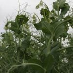
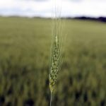
major crop rotation decisions. They typically grow rotations of canola,
peas, wheat, oats, barley and hayland. They already knew which fields
handled which crops better from past harvests.
Fertilizer placement is one improvement.
The land is a heavy black gumbo that dries into a hardpan every summer.
Fertilizer requirements vary.
They regularly spread manure from the dairy. Combining soil tests and
yield map information, they were able to scale nitrogen applications
downward. The system still needs refinement.
“We found after three years in a row on GPS that we were not varying
the rate enough to make a real big difference,” Cor said.
“Some of the soil we could have poured way more fertilizer on it, but
if Mother Nature doesn’t co-operate, then it doesn’t work.”
Cor likes the parallel tracking feature, which helps steer the tractor
straight when seeding, spraying or combining. Field maps will show
pieces that were missed when they went around corners or veered off the
track.
When he enters a field, Cor punches in the field name and a prompt asks
if this is correct. He makes his adjustments according to the questions
asked by the computer and then he is ready to go.
As he drives down the field, information is provided on the monitor.
Besides helping him seed in straight lines, the system lets him know
the direction in terms of degrees from true north, longitude, latitude
and the number of satellites available.
The air seeder is not on GPS, and he said the system would be perfect
if he had all pieces of equipment on the system.
He likes the simple-to-use system from John Deere, but wishes implement
manufacturers would make their systems compatible so farmers aren’t
forced to stay with one company to make full use of GPS.
For them, the future is technology where the family farm can survive
and thrive.
They have two adult daughters and they hope the future involves their
teenaged son eventually joining them.
He also buys into the technology and enjoys the feature in the family
car.
“He uses it to find the nearest Wendy’s,” said Cor.