Q: Is there a special law dealing with the original homestead fences stating that they represent the true boundary line between neighbours? Surveying has become more
accurate than the initial surveys that were made in the late 1800s and early 1900s. Can those surveys now be corrected?
A: There is no law stating that the first homestead fences were the correct boundary lines between parcels of land. Rather, the correct boundaries were those established by the first surveys of land. If a fence line is in the wrong place there are several remedies.
Read Also
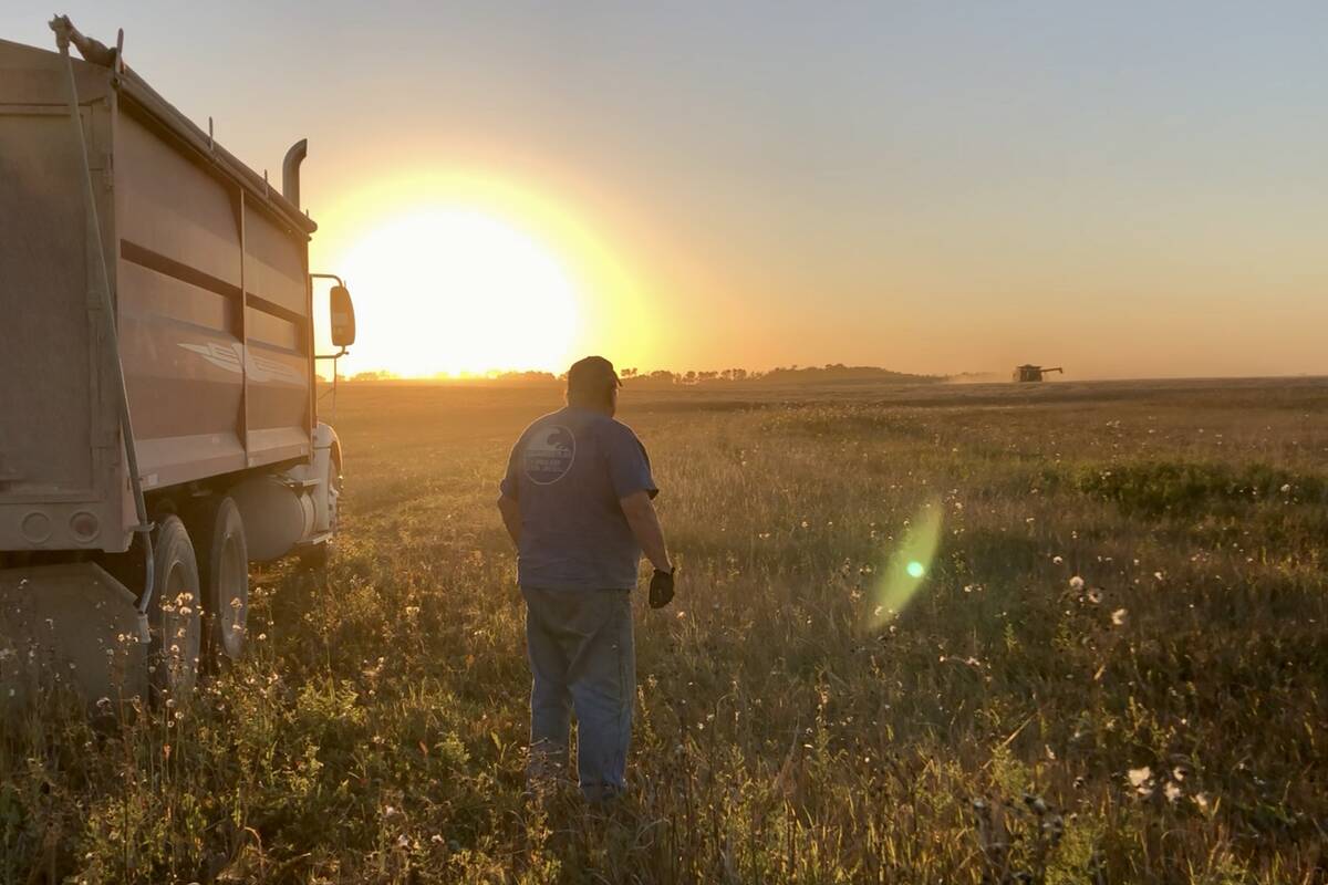
VIDEO: Bittersweet harvest for this family farmhand
Bruce Burnett helps his brother harvest wheat and canola for the last time on the family farm in Manitoba where they both grew up.
The system of land survey used in Western Canada was established by the federal government shortly after confederation. At that time Alberta and Saskatchewan did not exist and Manitoba was a fraction of its current size. And even in that province, all public lands that were available for homesteading were under federal control.
The federal law set out a system of dividing the Prairies into townships, sections and quarter sections. While the goal was to make each section 640 acres and a quarter section 160 acres, that didn’t always happen. North-south survey lines were based on lines of longitude or meridians. These converge as you go farther north, so you can’t fit in as many townships between the meridians as you go north. In mid-Saskatchewan, the north side of a township is approximately 37.6 metres less than the southern end. Hence, adjustments known as correction lines had to be used.
Survey errors did occur. However, the law made it clear that the boundaries established by the surveys were to be the correct and final boundaries. With certain exceptions those principles continue today. Saskatchewan’s Land Surveys Act provides that “the primary monuments … determine the boundaries of the parcel, notwithstanding any discrepancy that may exist.” There is a similar provision in the Surveys Act of Manitoba.
In Alberta, a landowner can ask the director of surveys to investigate the placement of a corner post or boundary line due to an error in survey. The director can investigate and, if warranted, report to the minister in charge who can appoint a three person board including one lawyer and one surveyor to further investigate an alleged survey error. The board can order that survey plans be varied or that certificates of titles be amended to “reflect the true position of monuments.”
However, this is an exceptional procedure and when I queried I was told it has only been used three times.
In Manitoba, if a lost corner is being resurveyed and property rights will be affected, the owners must be notified. If there is an objection with which the registrar-general of surveys does not agree, the objector must begin a court action to have the location of the corner determined.
What if the fence line does not follow the survey line? In all three provinces there is a process for arbitrating disputes about fences including where the fence should be located. This process does not determine ownership rights. Assume A has been farming a 15 m strip of land that really belonged to B. This dispute would have to be resolved by a court. A judge could award A the strip of land upon payment of appropriate compensation, or order that A is to pay B for using the land, or order A to stop using the land, or a combination of these remedies.