Water and its connection to economic development and environmental protection highlights the South Saskatchewan regional advisory council plan submitted to the Alberta government.
The 64-page document provides only advice, and the government will not implement it until the public reviews it and the Alberta Land Stewardship Act has been amended, said sustainable resource development minister Mel Knight March 25.
“This government respects the property rights of Albertans and we will draft these plans only after we have had input from Albertans,” he said.
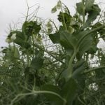
The 19 member advisory council suggested a land use classification scheme with detailed descriptions and management for each category: agriculture, cultivated land, native rangeland, conservation, mixed use-forest, population centres and recreation-tourism.
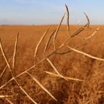
The land already supports multiple uses and conflicts are increasing, but competition for limited water supplies could restrict future population and economic growth.
The region also contains 80 percent of Alberta’s species at risk as well as habitats on native grasslands, riparian areas and wetlands.
The South Saskatchewan Region is bounded by the Rocky Mountains to the west, the Canada-U.S. border to the south, the Alberta-Saskatchewan border to the east and the northern municipal boundaries of Rocky View, Wheatland, Newell and Cypress counties and the Municipal District of Bighorn.
For more information, visit www.landuse.alberta.ca.
An online workbook will be available on the website by the end of April.