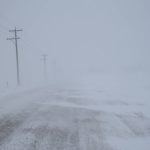
Although it’s not an exact science, forecasters with the U.S. National Weather Service (NWS) are confident that record snowfalls in North Dakota will cause flooding in the Red River Valley this spring.
The likelihood of flooding in Grand Forks, N.D., which is often a harbinger of flooding in Manitoba, is essentially 100 percent, said Steve Buan, a hydrologist with the weather service.
“Quite a few of the climate reporting stations across North Dakota had record snowfall for December,” said Buan, who works in Minneapolis.
Read Also
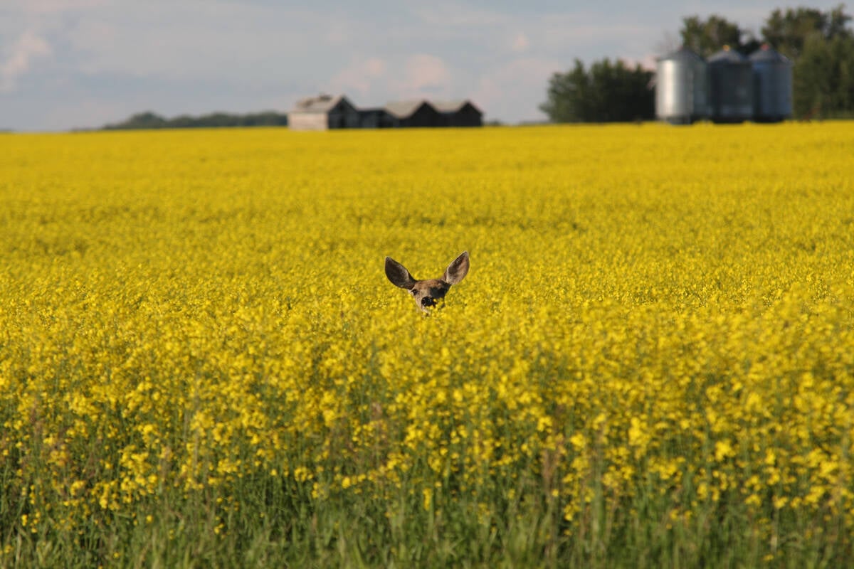
Drones now used to assess wildlife crop damage in Saskatchewan
Wildlife damage in Saskatchewan crops is now assessed by drones and artificial intelligence.
“Bismarck had 33.3 inches (85 centimetres) of snow in December. That was the most in a single month in the history of Bismarck …. The previous December snowfall record was 21.7 inches (55 cm).”
According to NWS historical data, the Red River at Grand Forks floods 53 percent of the time, which means a 100 percent chance of minor flooding in 2009 is not shocking.
What is more alarming, Buan said, is the high probability of major flooding in the Red River Valley this year. The NWS’s hydrological models, which are based on data from Dec. 22, point to a 40 percent chance of major flooding in Grand Forks. In a typical year there is only an eight percent chance of major flooding.
The NWS defines major flooding in Grand Forks as water above 14 metres. To put that in perspective, the water tops the riverbank at 8.5 metres.
During the flood of 1997, the water level reached 16.6 metres.
Compounding the problem in North Dakota is that the soil beneath the record snowfall is wet and will likely act as a barrier, preventing melting snow from soaking in.
“Our soil moisture states are relatively saturated … because of how wet the fall was.”
Buan said several climate scenarios could occur that would mitigate spring flooding, but the hydrological models, based on current data, indicate trouble ahead.
“We have pretty good confidence in these graphs (and) the signal is a pretty strong likelihood of some significant flooding.”
Although there is concern south of the border, Alf Warkentin, manager of flood forecasting for Manitoba Water Stewardship, said it’s too early to reach for the panic button.
“Right now, it looks like there’s a good chance of some agricultural flooding (in Manitoba), but we can’t say at this point that there will be anything more than minor flooding. But it could evolve into something bigger.”
He said snowfall in North Dakota and Minnesota is a significant factor in predicting flooding in the Red River Valley south of Winnipeg, but snowfall depth can be misleading.
“It is a pretty big factor, there’s no doubt about it. The U.S. part of the basin is bigger than the Manitoba part,” he said. “But they (the NWS) base a lot of their calculations on snow depth, without really knowing what the water content is.”
He said Manitoba Water Stewardship does not release probabilities of flooding until it receives the results of snow surveys, which are done in February.


