Glacier FarmMedia — The weather situation on the Canadian Prairies will likely become unsettled when moving deeper into June, said Scott Kehler, chief scientist for Weatherlogics.
“The week (of June 9) will start fairly benign for the eastern Prairies. Then as we get into the latter part of the week, Alberta has increasing chances for rainfall,” Kehler explained.
“The most chances of rain will likely spread further east into Saskatchewan and Manitoba as we get into the weekend or early next week,” he added, noting the weather will remain unsettled.
Read Also
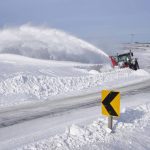
Prairie forecast: Quiet pattern continues as winter struggles for a foothold
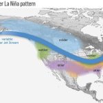
For the upcoming forecast period, a large area of low pressure remains anchored off the British Columbia coast, a strong low spins over the Atlantic coast and another, weaker low lingers near Hudson Bay. Between these systems, the flow across the Prairies is largely zonal, meaning it moves west to east with little north–south movement. That pattern will help usher a few weak disturbances across the region during the next several days.
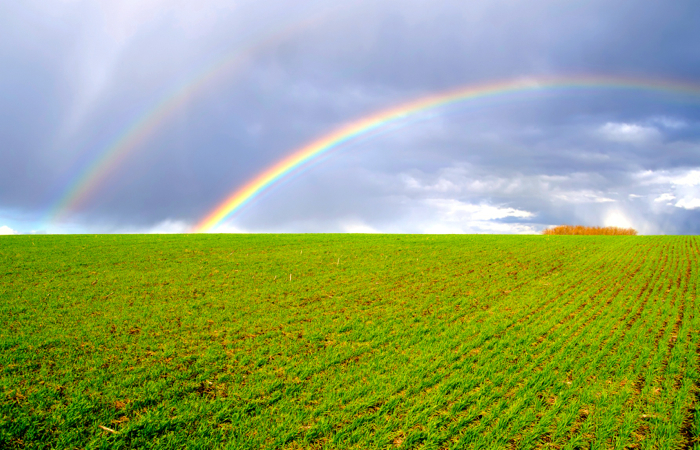
That is to lead to more rain, but Kehler said not over the Prairies as a whole, rather different areas at different times, but with the entire region getting moisture.
Temperatures won’t dip too far below normal; he added with conditions to be warmer in Alberta.
Kehler also said the smoke from wildfires will have an impact on the weather. Be the smoke up high or down lower, it will reduce temperatures somewhat.
He noted northern Saskatchewan received a good amount of rain over the weekend, helping with the fires there. However, the blazes in Alberta and Manitoba didn’t receive as much precipitation. He said that can lead to more complexity in forecasting the weather.