It’s early in the growing season and it’s impossible to predict the twists and turns of weather patterns in the weeks and months ahead. However, here are some probable outcomes based on the weather and seeding progress.
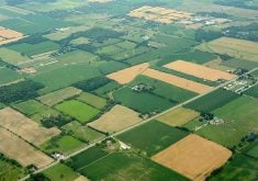
The per cent of average precipitation map for the growing season is a sight to behold. In most of Western Canada, it has been a wet start to the season.
The western side of the Peace River region, another area west of Edmonton and a few relatively isolated spots within Saskatchewan have been drier than normal. Otherwise, precipitation from April 1 to June 1 has been at least average and mostly above average across the Prairies.
Read Also

Budget seen as fairly solid, but worrying cracks appear
The reaction from the agriculture industry to prime minister Mark Carney’s first budget handed down November 4th has been largely positive.
Many parts of Manitoba have had too much rain, with some spots showing two times the normal growing season precipitation. A lot of that rain has come in recent weeks, causing flooded fields and seeding delays.
Parts of southeastern Alberta and southwestern Saskatchewan have also recorded more than double the norm, but this area has been so dry in recent years that there are few complaints.
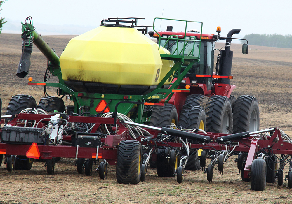
As of June 1, seeding progress was running behind normal, according to provincial crop reports, but it wasn’t seriously behind. However, seeding for many farmers in Manitoba could get late if the rains continue.
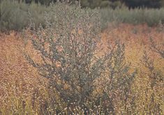
Crops that have been seeded are generally off to a great start with strong, even emergence. Some light frosts have been reported, but crop damage appears to be minimal. While conditions can change from wet to dry in a matter of weeks, based on current conditions, odds favour an above average crop this year.
As the season proceeds, if good growing conditions continue, it will encourage producers to make more sales of old crop production before harvest season begins.
Look for more fungicide applications than we’ve seen in recent years. Lusher crops are more prone to disease. More top dressing of fertilizer is also likely.
Expect hail insurance sales to be brisk. A year with moisture in the air could generate more thunderstorms. Plus, producers are more likely to increase their insurance levels when the crop is looking good.
With later seeding and with crop that hopefully won’t end up seriously drought stressed, expect a later harvest than many areas have seen in recent years. In 2023, some pulse crop harvesting was already underway in dry regions by the time August rolled around. That looks unlikely this year.
A later harvest increases the probability of quality issues as well as the need for more grain drying. This isn’t a certainty because you can’t predict what the weather will be in the fall, but the later you go in the season, the shorter the days become.
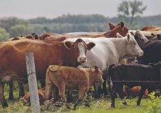
A critical shortage of livestock feed seems unlikely. Grass growth is great in many of the regions that suffered with drought and lack of forage last year.
Yes, the weather could turn hot and dry, but strong forage growth in early spring is a key factor in overall production.
Will above normal rainfall continue or will the tap turn off? Will temperatures remain moderate or will we again see the extreme heat of recent summers?
While we can’t see the future, at the moment it isn’t shaping up to be a drought year.
Kevin Hursh is an agricultural journalist, consultant and farmer. He can be reached by e-mail at kevin@hursh.ca.