
Interprovincial water agreement under scrutiny as drought conditions in southern Alberta take their toll on region’s rivers
MEDICINE HAT — Pressure on Alberta rivers due to sustained dry conditions last fall forced a Saskatchewan town to declare a state of emergency in early December.
Combined flow rates from both the Red Deer and South Saskatchewan rivers fell below 42.5 cubic metres per second (cms), according to provisional hydrometric data. That led the town of Leader, Sask., to declare an emergency on Dec. 7.
Related stories in this issue:
- Water Woes weigh on ranchers
- Sask. watches water levels closely
- Low water levels affect southern Alta. power generation
Read Also
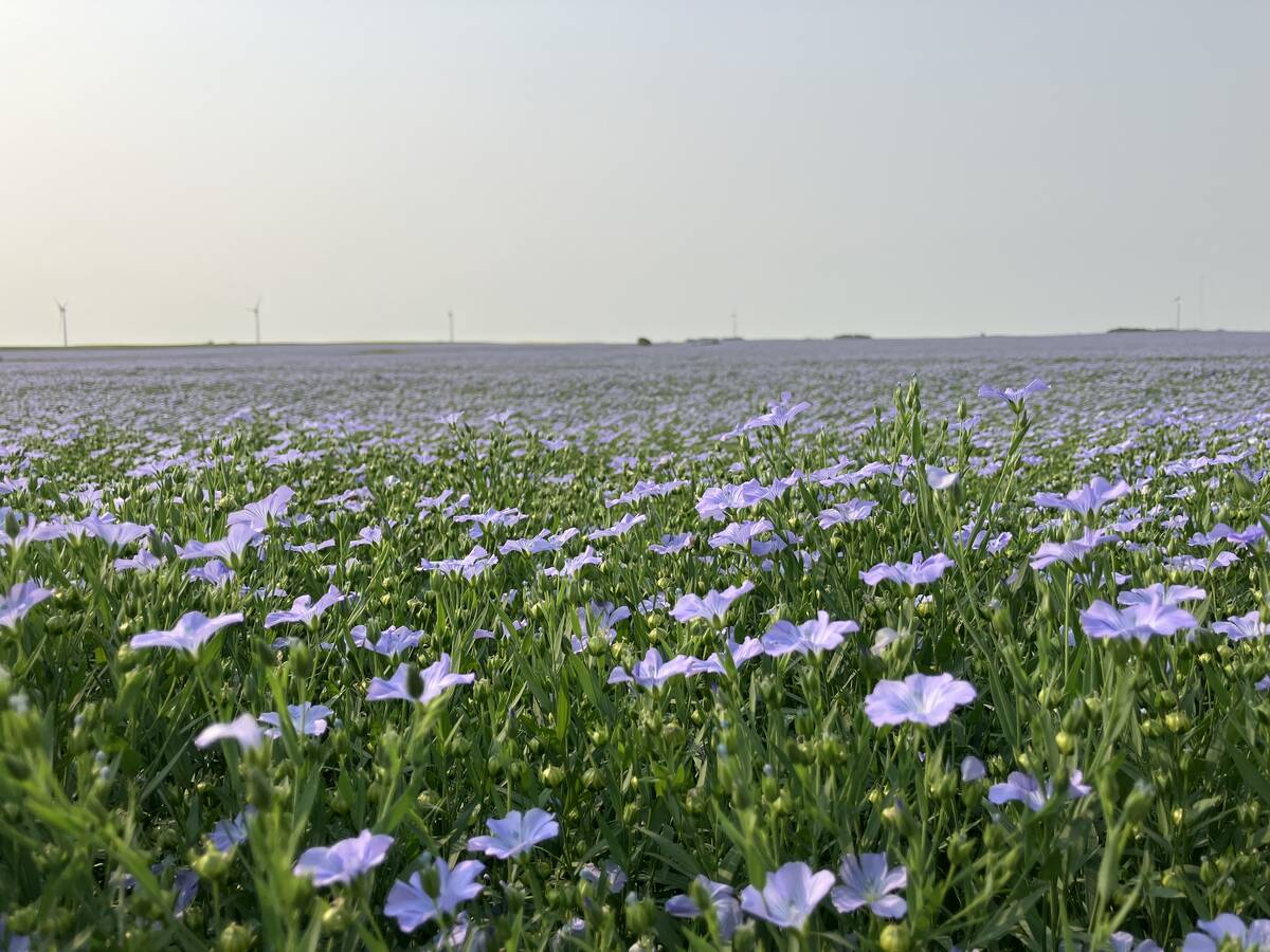
Huge Black Sea flax crop to provide stiff competition
Russia and Kazakhstan harvested huge flax crops and will be providing stiff competition in China and the EU.
That daily river flow threshold is required to be maintained under the interprovincial Master Agreement on Apportionment (MAA), which governs requirements for water flows between Alberta, Saskatchewan and Manitoba.
The MAA requires half the natural flows from the South Saskatchewan River annually to cross from Alberta to the waterbody’s namesake province, though there are exceptions.
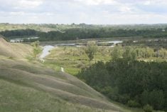
While the hydrometric data comes with the caveat that ice may skew measurements, it reveals some rarely seen levels on the Red Deer and South Saskatchewan rivers. The confluence of those rivers is just upstream of Leader.
Between Nov. 25 and Dec. 2, already low flow rates at the Medicine Hat recording station dropped further, to just under 20 cms. During the same period, the Bindloss, Alta., recording station on the Red Deer River also saw levels dip below 10 cms. There are no hydrometric recording stations between those locations and Lake Diefenbaker.
By Dec. 7, the municipal water intake for Leader could no longer access the river and provide water to the community, prompting the emergency declaration.
“We never received anything to inform us of the possible low conditions,” said Leader chief administrative officer Erin Romanuik in an emailed statement to The Western Producer, adding that the community raised concerns to Saskatchewan’s Water Security Agency prior to Dec. 7.
During a presentation at the Alberta Irrigation District Association conference in Lethbridge Feb. 6, Alberta Environment’s transboundary waters team lead, Carmen de la Chevrotière, confirmed the 42.4 cms threshold was not met over four days in November and December.
She said a full evaluation of Alberta consumption levels at that time had not been completed.
Water levels recovered and didn’t require use of the temporary pumps that Leader had obtained from Nipawin, Sask.
De la Chevrotière said it’s likely Alberta was still in compliance with the MAA under exceptions to the 42.5 cms daily flow rate requirement and did meet that level averaged over the course of the affected months.
Low levels on the South Saskatchewan River have become a perennial issue for Leader, according to Romanuik. As well, the community’s water treatment facility is old and needs to be replaced.
“At this time, we do not have the funds to undertake a permanent solution but will continue to make every effort to ensure our residents have safe drinking water,” she said in an email.
The irrigation conference was briefed by de la Chevrotière on the fundamentals of the MAA and the latest data regarding river levels.
“The natural flow model for the South Saskatchewan River is the most complex model we have in Alberta for transboundary,” she said.
That model calculates the natural flow rates on the rivers, including the amount diverted and the amount returned to the basin by multiple irrigation districts, municipalities and industries.
Clause 4 of the MAA “speaks to a minimum entitlement for Alberta, even if that would be greater than 50 percent of the natural flow, provided that Alberta provides a minimum flow at all times,” de la Chevrotière said.
That minimum annual entitlement is 2.1 million acre feet for Saskatchewan but is only required if natural flows in Alberta reach 4.2 million acre feet. Likewise, the daily 42.5 cms level is only required to be met if that amount is 50 percent of the natural daily flow.
“If that 42.5 (cms) flow is more than 50 percent of the natural flow, Alberta is only obligated to deliver 50 percent,” said de la Chevrotière. “What this means is if the actual measured flow falls below 42.5 (cms) at the confluence of the Red Deer and South Saskatchewan rivers, this doesn’t mean that Alberta hasn’t met its commitment.”
The last natural flow report publicly available is from late October, when the last 10 days of that month had rates between 30 and 93 cms.
Ice can affect river monitor readings and damage equipment, so measurements are not usually recorded over the winter months and any available data is provisional.
However, one of the apparent safeguards to ensure the 42.5 cms minimum flow rate is met is the city of Medicine Hat’s Water Shortage Management Plan, a copy of which was obtained by The Western Producer.
While there are a number of subjective triggers that activate that plan, one of the concrete metrics is that, if the flow rate of 42.5 cms isn’t maintained at the Medicine Hat reporting station for a period of two consecutive weeks, phase one of the plan could be activated.
On Nov. 24, the Medicine Hat station recorded levels that fell below that threshold, dipping below 20 cms on Dec. 1 before rebounding on Dec. 3. Sustained 42.5 cms flow did not occur until two days later, according to provisional hydrometric data.
The river struggled to maintain the 42.5 cms threshold throughout November, with flow rates slightly above or slightly below.
The Red Deer River recorded primarily normal levels through November, its seasonal low period. But flow rates dipped below the bottom quartile of average in the last week of the month, going slightly below nine cms, according to provisional measurements.
November also saw Bow River irrigators fill their depleted reservoirs. Reservoirs on the Oldman River struggled to maintain levels that month. Southern Alberta’s largest reservoir at the Oldman Dam fell to 25 percent capacity and the St. Mary Reservoir was effectively empty.
As for data on annual allocations from the South Saskatchewan River to Saskatchewan, de la Chevrotière told irrigators the only confirmed years that Alberta wasn’t able to meet the annual 2.1 million acre feet minimum allocation (established in 1969) were 1977 and 2001.
Alberta did provide 66 and 58 percent of natural flow during those years, respectively, and captured its minimum allocation of 2.1 million acre feet while meeting its MAA obligations.
Based on provisional data, de la Chevrotière said 2023 will be added to that list, though Alberta delivered 61 percent of natural flows to Saskatchewan.
As for ensuring a daily rate of 42.5 cms, she said the modeling tools only allow for monthly calculations.
“So far in history, there has only been a few times that the actual flow has fallen below 42.5 … in late November 1994 and in late November again in 2011, both of which were at times Alberta was not consuming more than 50 percent of the natural flow,” said de la Chevrotière.
Leader was the second community in Saskatchewan to declare a state of emergency due to low river levels in recent months. The other bookend community on the basin, Cumberland House, declared its own emergency in October.
Water levels on Lake Diefenbaker, Saskatchewan’s biggest insurance policy against hydrological drought, haven’t risen since peaking in June 2023. Between July 2023 and January 2024, levels primarily sat well below the lower quartile of normal.
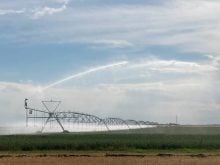
Alberta is hosting meetings about water, and stakeholders who rely on the Bow, Oldman and Red Deer rivers that form the South Saskatchewan River basin are being briefed on the latest forecasts.
Preparations are underway in Alberta to deal with possible water shortages. Snowpack levels from the Peace Country to the southern end of the Eastern Slopes are well below normal.
From Athabasca in the north to Milk River in the south, all rivers have abnormally low levels and there are 51 water shortage advisories in the province.
But it’s the MAA that ties water management between Alberta and Saskatchewan.
Alberta has launched its largest ever water sharing agreement procedure to ensure all licence holders receive allocations. Various municipalities warn of possible restrictions for residents if conditions don’t improve in spring.
Similarly, irrigation districts are forecasting reduced water allocations to farmers if precipitation continues to be poor and forecasts for poor mountain runoff materialize.