What is El Niño, and why can it have such a profound impact on our weather? Simply put, El Niño is a change in ocean surface temperatures across the tropical and subtropical Pacific Ocean. This creates a change in the weather patterns.
The Pacific Ocean covers half of our planet, so any large-scale change is bound to have an impact elsewhere. It takes a lot of energy to warm up water, and conversely, water releases a lot of energy when it cools. In essence, water is like a battery that stores heat, and the Pacific is a big heat battery.
Read Also
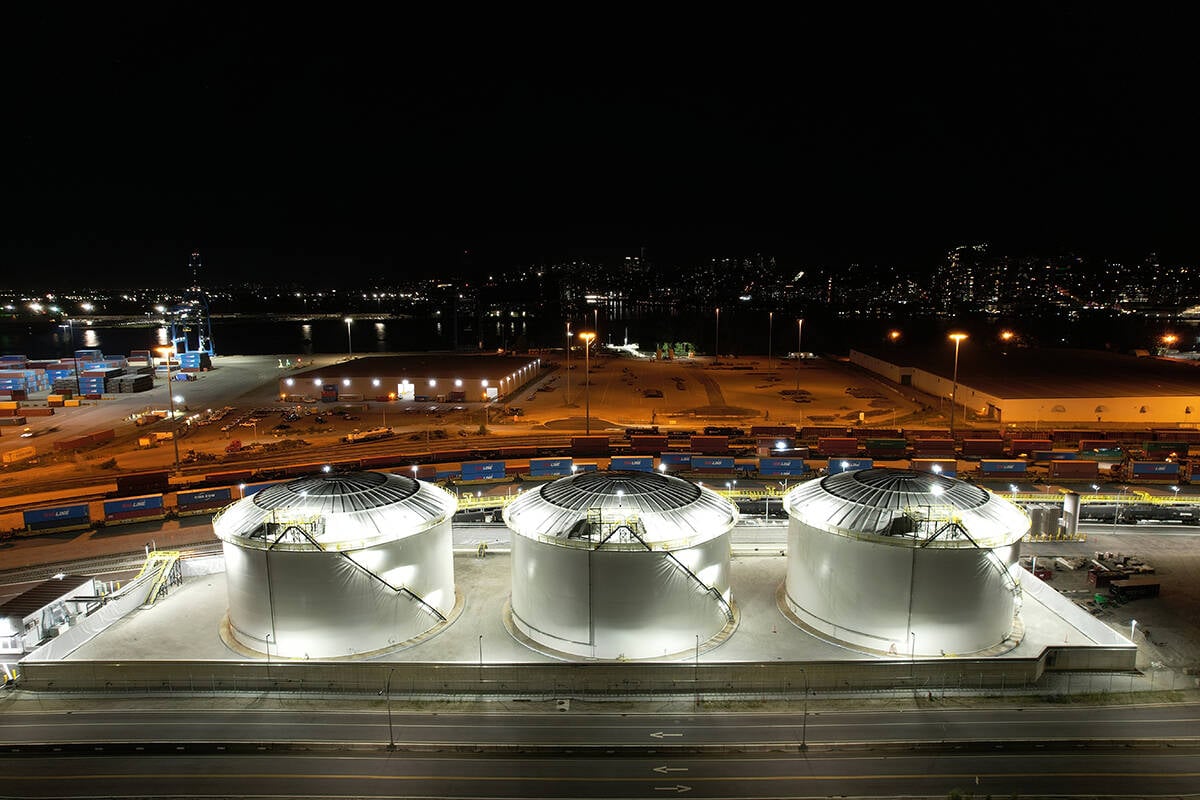
Canola oil transloading facility opens
DP World just opened its new canola oil transload facility at the Port of Vancouver. It can ship one million tonnes of the commodity per year.
Weather is the atmosphere’s attempt to equal out heat imbalances. If there is too much heat in one place or too much cold in another, the atmosphere tries to make things equal by sending cold air southward and warm air northward.
To understand El Niño and the cold or opposite version known as La Niña, we need to keep these wind patterns in mind and consider their effect on the Pacific Ocean. Those who have watched the effect of wind on a body of water can likely recall seeing wind push water around. For example, a strong wind from the north will raise the level of Lake Winnipeg at the south end, and vice-versa.
Transfer this idea to the Pacific Ocean. In tropical regions, winds in the Pacific almost always blow from east to west. This pushes water away from the west coast of North and South America and piles it up on the far side of the Pacific.
As easterly winds in the tropics blow offshore of the Americas, they push surface water. Replacement water comes from below. This is known as upwelling.
OK, we now have cold water along the west coast of North and South America and the surface water is being pushed across the Pacific and is piling up on the far side. As the surface water travels across the Pacific, it is heated under the tropical sun, so the water on the far side is very warm.
Cold water will usually keep the air above it cooler, while warm water will keep the air above it warmer. Also, cold water won’t evaporate as easily as warm water. This means we don’t see as many clouds or precipitation in areas with cold upwelling as we do warm water areas on the far side of the Pacific. This is the general situation considered “normal” across the Pacific Ocean.
When scientists say an El Niño or La Niña event is occurring, this normal pattern of winds and ocean temperature is changing. For an El Niño, we see an unusual warming of the Pacific in areas that are usually cool, and during a La Niña event we see a cooling of the Pacific over areas that are usually warm.
During an El Niño, the extra energy or heat stored and released into the atmosphere must go somewhere. Some of it simply warms the air, but then the atmosphere wants to equal out that warm air.
A big chunk of the heat energy from the Pacific goes into developing clouds, precipitation and storm systems, which are an efficient way for the atmosphere to equalize heat. Most of the energy is stored in the form of latent heat that will be released when the water vapour condenses.
This overall movement of warm air and storm systems over the Pacific Ocean creates a general pattern of winds around the world.
Under normal temperature conditions across the Pacific, the general flow of the atmosphere follows the general pattern of tropical easterlies, mid-latitude westerlies and polar easterlies. Since we live in the mid-latitudes, a large portion of our weather comes off the Pacific.
If we change the amount of heat over a large portion of the Pacific, either by warming up the Pacific Ocean (El Niño) or cooling it down (La Niña), this disrupts the general flow of air across this region and can impact air flows.
Daniel Bezte is a teacher by profession with a BA in geography, specializing in climatology, from the University of Winnipeg. He operates a computerized weather station near Birds Hill Park, Man. Contact him at dmgbezte@gmail.com.