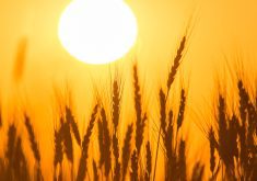
El Niño is back.
It could evolve into a strong and persistent El Niño weather pattern or it might be moderate and short lived — It’s too early to tell.
However, some forecasters think it could become a powerful El Niño.
“This El Niño seems to be developing very, very quickly,” said Barrie Bonsal, a research scientist with Environment Canada in Saskatoon.
“A lot of times when we go from a La Niña to an El Niño, the transition is fairly slow. This one seems like we switched to an El Niño (rapidly) and it’s building very quickly…. It looks like it has the potential to be quite strong.”
Read Also
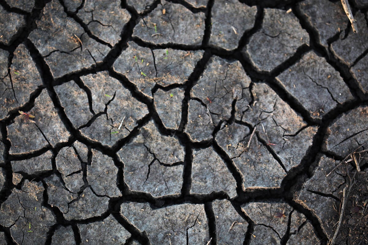
Prairies have variable soil moisture conditions
The dry weather in the west was welcome for preserving grain quality and advancing harvest, but it has resulted in very dry soil moisture conditions.
Experts at the National Oceanic and Atmospheric Administration announced earlier in June that the three-year La Niña was over, and El Niño conditions had developed in the Pacific Ocean.
In the simplest terms, El Niño is when “surface waters in the eastern tropical Pacific… become warmer than average,” says the Environment Canada website.
“The changing pattern of the Pacific Ocean causes a shift in the atmospheric circulation, which then impacts weather patterns across much of the Earth.”
La Niña is the opposite.
It’s the large-scale cooling of ocean surface temperatures in the central and eastern equatorial Pacific Ocean.
The La Niña that just ended stuck around for a long time. It began in 2020 and persisted for three winters.
It often delivers colder than normal winters to the Prairies. That was definitely true in 2022, when the winter stretched into May in parts of Western Canada.
El Niño typically has the opposite impact — it causes shorter and warmer winters in Western Canada.
“When we have (strong) El Niños, that’s when we see the impacts worldwide,” Bonsal said, noting the last significant El Niño was around 2015.
“We get a jet stream pattern where it’s quite a bit warmer than average (in late fall, winter and early spring), most often less precipitation.”
The “strong” description of an El Niño event means surface sea temperatures in the eastern equatorial Pacific are much warmer than normal.
In turn, the warm water heats the atmosphere above the central and eastern Pacific Ocean near the equator.
“It leads to a stronger Hadley circulation and changes to the jet streams,” says a blog on climate.gov.
“For example, in an El Niño winter, an extended north Pacific jet stream tends to bring more storms across the southern tier of the U.S. and warmer air to the northern half of North America.”
For more information on the Hadley circulation, visit www.climate.gov/news-features/blogs/june-2023-enso-update-el-ni%C3%B1o-here.
Again, it’s much too early to predict if this El Niño will become powerful and persistent, but there’s an outside chance it could become something like 1997-98.
“I think that’s one of the strongest El Ninos on record,” Bonsal said.
“We had no snow at Christmas here in Saskatoon…. They had (photos) of people golfing on Christmas Day.”
That sort of El Niño seems unlikely at this point.
Forecasts indicate that an average El Niño is more likely.
“We expect (it) to continue into the winter and the odds of it becoming a strong event at its peak are pretty good, at 56 percent,” says climate.gov.
“Chances of at least a moderate event are about 84 percent.”