A model of the Assiniboine River Basin’s topography, soil and groundwater will be used to mitigate flooding and drought risks
There was a time when the Red River was the problem child of Manitoba waterways, but the Assiniboine River may now hold that distinction.
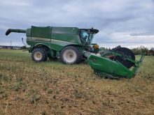
Flooding of the Assiniboine in 2011 and 2014 swamped farmland in Manitoba and forced the provincial and federal governments to spend hundreds of millions in dikes and flood controls within the watershed.
In an effort to mitigate future flooding, the federal government is investing $1.1 million on a hydrological model for the Assiniboine River basin, which stretches well into Saskatchewan and North Dakota.
Agriculture Canada announced funding for the project mid-June.
Read Also
Government, industry seek canola tariff resolution
Governments and industry continue to discuss how best to deal with Chinese tariffs on Canadian agricultural products, particularly canola.
Aquantry of Waterloo, Ont., and IBM will create the model.
“Based on the new model, a web-based tool will be developed that farmers can use to gather information on their farmland to help effectively manage moisture levels and mitigate risk associated with drought and flooding,” Agriculture Canada said in a news release.
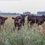
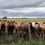
The Manitoba Forage and Grassland Association is leading the project because the government wants to know if forage land and pasture hold back water and mitigate the risk of flooding.
“We will (with the model) be able to answer questions on what sort of impact forages and grasslands would have on water movement within the basin,” said Henry Nelson, MFGA vice-president.
“What if we increased the forages and grasslands on a particular soil type, in a particular watershed? What would be the impacts downstream?”
The Assiniboine River Basin Initiative, a partnership between water management groups in Manitoba, North Dakota and Sask-atchewan, is also part of the project.
“In many ways the Assiniboine basin is, I use the term, an orphan. It’s kind of been left off to the side,” said Allan Preston, former deputy minister of agriculture in Manitoba and ARBI chair.
“There’s a lot of work … on the Red. There’s a lot of work on the South Saskatchewan. But on the Assiniboine basin it’s kind of been left out of the picture.”
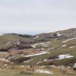
Creating the hydrological model will take time because the basin, which includes the Qu’Appelle River watershed and the Souris River basin, is larger than England.
“A big part of the development of the model is to define the soils, the topography, the soil and surface and groundwater situations,” said Nelson, who farms a kilometre east of the Assiniboine near Portage la Prairie, Man.
“There is a lot of data that has to be put into the model.”
The short-term goal is to develop a user friendly computer model and understand how forages and grasslands affect flooding.
Longer term, the project hopes to address more contentious issues such as surface drainage, tile drainage and nutrient movement off agricultural land.
“Some of the things, like drainage, will require further input and (further) development of the model,” Nelson said.
“Those are thing that will take place down the road. There’s so much work to be done (just) to get the model built.”
It’s hoped the model will show that forage and pasture land provide ecological services, which may lead to compensation for livestock producers in the Assiniboine River Basin, Nelson said.
“We’re not getting paid for water management or carbon sequestration or habitat biodiversity,” he said.
“Those are things that help us all, in a public way.”
The project has a deadline of March 2018.
2011 Assiniboine River flood in Manitoba
- Flows on the Assiniboine River reached record levels, equal to a one in 330 year flood.
- The total cost of flood fighting, repairs to infrastructure and disaster payments cost more than $1 billion in Manitoba.
- States of emergency were declared in 70 communities.
- Flood waters and overland flooding prevented planting or swamped crops on three million acres of farmland.