The Alberta government released a final draft of the South Saskatchewan regional land use plan Oct. 8.
The plan covers most of southern Alberta from Calgary to the U.S. border. It calls for more parks, protected areas and watershed protection. It affects more than 1.6 million people living in the region and attempts to achieve a balance between urban development, resource extraction, recreation and agriculture needs as well as protection for the headwaters that start in the Rocky Mountains and drain into rivers that flow eastward across the Prairies.
Read Also
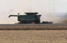
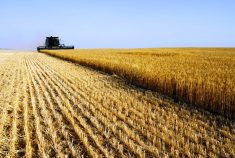
Alberta harvest wrapping up: report
Harvest operations advanced to 96 per cent complete in Alberta as of Oct. 7, with only a few late-seeded cereal and canola fields remaining, according to the latest provincial crop report.
Public meetings on this proposal run from Nov. 5-28. The first two meetings are Nov. 5 in the Crowsnest Pass and Taber.
Once the public has submitted its opinions, the government will make any required changes and it should become law by mid-2014.
The plan proposes:
• Thirty-two new and expanded recreation and conservation areas including Castle Wildland Provincial Park, Castle Conservation Area and Pekisko Heritage Rangeland.
• Nine new provincial parks.
• Three new provincial recreation areas.
• Increases the percentage of conservation areas in the eastern slopes of the Rocky Mountains to 33 percent from 22 percent. This adds 332,767 acres of legislatively protected land.
• Establishes environmental management frameworks for air and surface water quality, which includes strict limits on pollution.
A complete list of public meetings and the document can be viewed here.