The theory of delivering water to the parched southeastern-central region of Alberta is closer to reality.
The Alberta government has start-e d a three year environmental assessment to examine the potential diversion of water from the Red Deer River to the Special Areas, as well as parts of the counties of Stettler and Paintearth.
The $1 million assessment will examine potential environmental, social, health and economic implications of a project discussed since the 1930s.
This evaluation is the closest the region has come to seeing the project happen, said Darcy Ferguson of the Special Areas administration.
Read Also
Rural Manitoba resources slim on natural disaster planning
A study from Brandon University’s Rural Development Institute has found that many rural and small municipalities don’t have the staff or resources to make formal climate plans against natural disaster.
“When the funding is available from the province, we could pull that off the shelf and get to work on it,” he said.
Agriculture minister Jack Hayden, who also farms in the region, said cabinet approved the project in principle about seven years ago.
“It is an expensive project but it is one of the few where we have the majority of the plans already done up for it and we are going to have to get really creative in the South Saskatchewan River basin to get more water,” he said in an interview.
“We are talking about a project that will cost hundreds of millions of dollars. The cost benefit analysis that has been done, there is payback over the years, but it is as much about keeping a community sustainable as it is about the return on investment strictly through livestock,” he said.
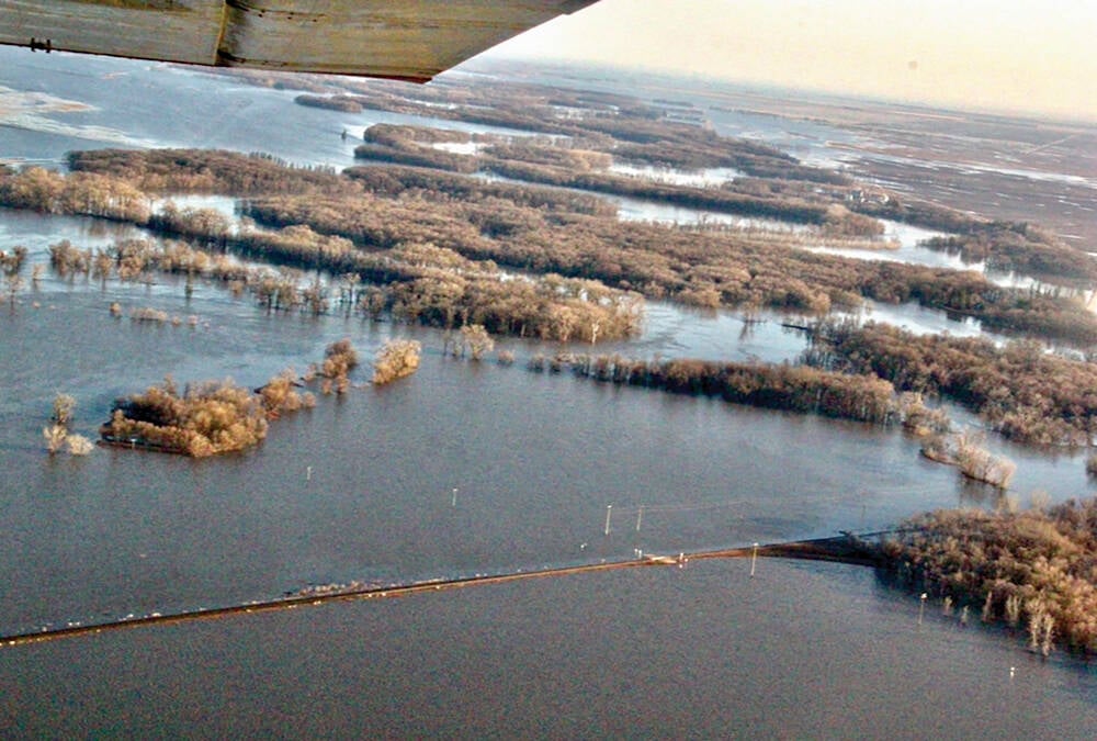
The province has been interested in capturing more water in the spring in an off-stream storage system rather than building more reservoirs and dams.
A project like this could capture two years worth of water and Alberta could still meet its commitment to deliver 50 percent of the river water to Saskatchewan.
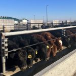
This is not an irrigation project.
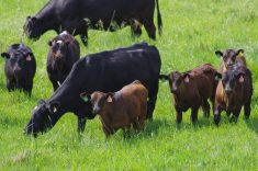
“The vast majority of the water in this diversion would be used for agriculture purposes and the vast majority of that would be at this point for the watering of livestock,” said Hayden. “If it was an irrigation project, the project would be dead in my estimation.”
Irrigation is unlikely because of widespread solonetzic soils, often called gumbo soils, which restrict root and water penetration of the subsoil.
While moisture conditions in the region have been manageable for the last two years, the minister said it is better to develop the diversion now rather than being in panic mode during a drought.
“We will have drought again because it goes in cycles, so hopefully we can go through the process and get things in place the next time we come around to one of those devastating droughts like we have had recently,” he said.
The project is an initiative between the departments of sustainable resource development, municipal affairs, agriculture and environment.
If constructed, the Special Areas Water Supply Project would be part of the provincially owned water management infrastructure and would be owned and operated by Alberta Environment.
Ferguson sees the project offering a stable supply of water through a pipeline system.
“The intention is to bring about 120 kilometres of it from where we divert from the river over to the headlands of two existing streams by pipeline canal. It will dump into those existing natural streambeds,” he said.
The project already has an allocation from the Red Deer River but never used it. Until the assessment is complete they do not have a firm idea on how much water would be taken or how many acres might be affected.
The province established the Special Areas in 1938 due to the extreme hardship of years of drought in the 1930s.
It consists of about 5.1 million acres split about 2.6 million acres of public land and 2.5 private acres. It receives between 50 mm to 300 mm of rainfall per year and snowfall of seven to 139 cm.
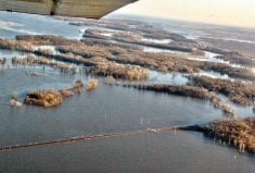
The Red Deer River Watershed Alliance report says the river watershed is the largest sub-basin of the South Saskatchewan river basin.
It is 724 km long and is fed by melt water, glacial streams from the Rocky Mountains. There are 13,000 farms in the watershed.