
Land use challenges Studies of the Alberta watershed show that rising population and industry use will affect water quantity and quality
FORT MACLEOD, Alta. — Societal attitudes toward water have always had a direct effect on the health of Alberta watersheds.
Brad Stelfox, a landscape ecologist with ALCES Landscape and Land Use, drove that point home Feb. 11 in his presentation to the Oldman Watershed Council conference.
Stelfox and his company have developed a landscape simulator that shows the evolution of the province’s water quantity, quality, land use, cultivation and settlement.
He predicted that water quality in the Oldman watershed may never regain levels seen 100 years ago.
Read Also
Agriculture ministers agree to AgriStability changes
federal government proposed several months ago to increase the compensation rate from 80 to 90 per cent and double the maximum payment from $3 million to $6 million
“Most of us treat (water) like it’s a free good, it’s infinite, we can never run out of it and no matter how often we turn on the tap, it kind of looks clear,” said Stelfox after his presentation.
“So our actions reflect that attitude, which is that we don’t care. We don’t pay anything for it. It’s almost free, right? But if we paid the true cost of water, which would be, say, double that of gas, people would probably treat it differently.”
The Oldman watershed, in Alberta’s southwestern corner along the eastern slopes of the Rockies, is in good shape or bad shape, depending on perspective.
“Relative to our great grandparents, it’s horrible. Relative to many other parts of Alberta, it’s good,” said Stelfox.
“It’s all relative, right?”
He and his company have compiled extensive data available in the public domain that documents forestry activity, pipelines, road networks, irrigation, wildlife populations, pasture and farmland.
The result is what appears to be a comprehensive database of past provincial development that also extrapolates future results based on the desired data.
“It’s primarily wall to wall coverage for the province, and then what we’ve done is worked hard to figure out how to clean it up and present it in a way that it can be looked at,” Stelfox said.
“As landscape planners, we need to know where we are. If we’re wise, we need to know how we got to where we are, and have to have some vision for where we want to be in 10, 20, 40 or 50 years.”
The Oldman watershed has a population of 192,000 people in a 23,000 sq. kilometre area, and if the same growth pattern continues, it will have 622,000 people by 2060, said Stelfox.
It has at least 50,000 km of highways, roads and trails.
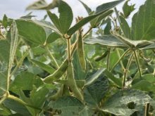
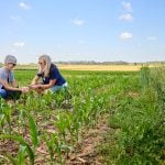
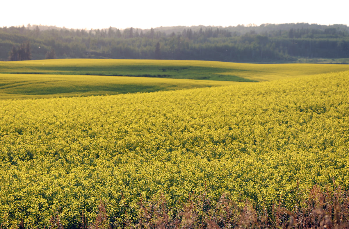
Multiple activities in the region, including ranching, farming, forestry and oil and gas exploration, all affect water quality and all have benefits and liabilities, said Stelfox.
The challenge is to decide on future directions and then maximize benefits and minimize liabilities.
“It isn’t a win-win situation. You can’t have land use only create benefits without challenges. It just isn’t that way.”
And whatever the land use, it affects the water.
“People think that water quality is something that requires us to go down to a stream or river. And if we do that, I think immediately we limit our ability to understand what’s going on in the landscape,” he said.
“The rivers and streams are nothing but a reflection of the watersheds through which they travel.”